Entrainement 60km
- 32 km
- 113 m
- 162 m
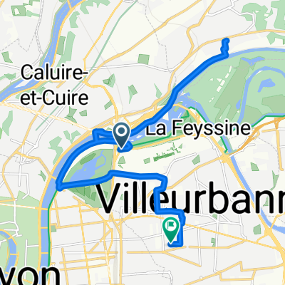
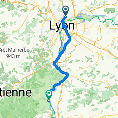
- Caluire-et-Cuire, Auvergne-Rhône-Alpes, France
A cycling route starting in Caluire-et-Cuire, Auvergne-Rhône-Alpes, France.
Overview
Tour of the 4 summits of the Monts d'Or starting from the Parc de la Tête d'Or / Climb to Mont Cindre / then to Mont Thou / Descent to Poleymieux / Climb to Mont Verdun / Descent to Mont Narcisse / Return to Lyon via the Rochecardon valley
created this 5 years ago
Route quality
Quiet road
9.5 km
(25 %)
Path
8.4 km
(22 %)
Paved
21.7 km
(57 %)
Unpaved
3 km
(8 %)
Asphalt
21.3 km
(56 %)
Ground
2.3 km
(6 %)
Continue with Bikemap
You would like to ride Les 4 Monts d'Or 11 sept. 2016 08:49:08 or customize it for your own trip? Here is what you can do with this Bikemap route:
Free trial for 3 days, or one-time payment. More about Bikemap Premium.
Discover more Premium features.
Get Bikemap PremiumFrom our community
Open it in the app