


WH Neckart.
- 19.8 km
- 127 m
- 352 m
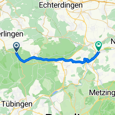
- Weil im Schönbuch, Baden-Wurttemberg, Germany
A cycling route starting in Weil im Schönbuch, Baden-Wurttemberg, Germany.
Overview
created this 5 years ago
Route quality
Track
17.2 km
(57 %)
Quiet road
5.4 km
(18 %)
Paved
16.3 km
(54 %)
Unpaved
13.3 km
(44 %)
Asphalt
16.3 km
(54 %)
Loose gravel
6 km
(20 %)
Continue with Bikemap
You would like to ride Schaichtal-Runde or customize it for your own trip? Here is what you can do with this Bikemap route:
Free trial for 3 days, or one-time payment. More about Bikemap Premium.
Discover more Premium features.
Get Bikemap PremiumFrom our community
Open it in the app


