Grünes Band_Tag 4_Dömitz - Wittenberge
A cycling route starting in Dömitz, Mecklenburg-Vorpommern, Germany.
Overview
About this route
- 4 h 32 min
- Duration
- 64 km
- Distance
- 252 m
- Ascent
- 242 m
- Descent
- 14.1 km/h
- Avg. speed
- ---
- Avg. speed
Route photos
Route quality
Waytypes & surfaces along the route
Waytypes
Path
21.1 km
(33 %)
Track
19.1 km
(30 %)
Surfaces
Paved
32.7 km
(51 %)
Unpaved
11 km
(17 %)
Asphalt
24 km
(37 %)
Gravel
5.7 km
(9 %)
Continue with Bikemap
Use, edit, or download this cycling route
You would like to ride Grünes Band_Tag 4_Dömitz - Wittenberge or customize it for your own trip? Here is what you can do with this Bikemap route:
Free features
- Save this route as favorite or in collections
- Copy & plan your own version of this route
- Sync your route with Garmin or Wahoo
Premium features
Free trial for 3 days, or one-time payment. More about Bikemap Premium.
- Navigate this route on iOS & Android
- Export a GPX / KML file of this route
- Create your custom printout (try it for free)
- Download this route for offline navigation
Discover more Premium features.
Get Bikemap PremiumFrom our community
Other popular routes starting in Dömitz
- Tag 1 Dömitz
- Distance
- 75.6 km
- Ascent
- 118 m
- Descent
- 118 m
- Location
- Dömitz, Mecklenburg-Vorpommern, Germany
- Dömitz
- Distance
- 49 km
- Ascent
- 123 m
- Descent
- 125 m
- Location
- Dömitz, Mecklenburg-Vorpommern, Germany
- Dömitz-Herrenburg-Dömitz
- Distance
- 45.2 km
- Ascent
- 68 m
- Descent
- 66 m
- Location
- Dömitz, Mecklenburg-Vorpommern, Germany
- Dömitz-Hitzacker- Dömitz
- Distance
- 49.2 km
- Ascent
- 63 m
- Descent
- 64 m
- Location
- Dömitz, Mecklenburg-Vorpommern, Germany
- Dömitz - Campingplatz am Wiesengrund (geplant)
- Distance
- 13.7 km
- Ascent
- 74 m
- Descent
- 67 m
- Location
- Dömitz, Mecklenburg-Vorpommern, Germany
- #6 Domitz to Boizenburg/Elbe
- Distance
- 57.4 km
- Ascent
- 99 m
- Descent
- 99 m
- Location
- Dömitz, Mecklenburg-Vorpommern, Germany
- Tag 2Dömitz
- Distance
- 53 km
- Ascent
- 122 m
- Descent
- 122 m
- Location
- Dömitz, Mecklenburg-Vorpommern, Germany
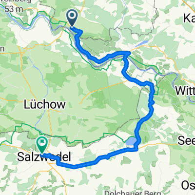
- Grünes Band DE 13/14: Dömitz - Zarrentin am Schaalsee
- Distance
- 115.9 km
- Ascent
- 262 m
- Descent
- 237 m
- Location
- Dömitz, Mecklenburg-Vorpommern, Germany