Maintalhöhenweg Teil 2
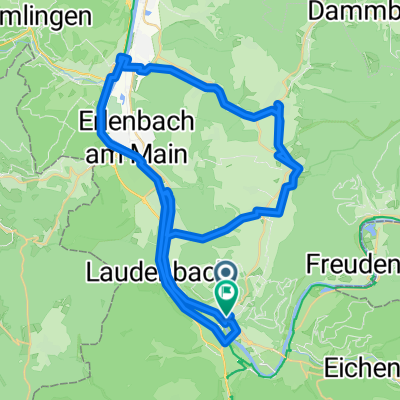
A cycling route starting in Großheubach, Bavaria, Germany.
Overview
About this route
Großheubach nach Kreuzwertheim
Heubach, Dorfprozelten, Faulbach
- -:--
- Duration
- 45.7 km
- Distance
- 970 m
- Ascent
- 952 m
- Descent
- ---
- Avg. speed
- ---
- Avg. speed
Continue with Bikemap
Use, edit, or download this cycling route
You would like to ride Maintalhöhenweg Teil 2 or customize it for your own trip? Here is what you can do with this Bikemap route:
Free features
- Save this route as favorite or in collections
- Copy & plan your own version of this route
- Sync your route with Garmin or Wahoo
Premium features
Free trial for 3 days, or one-time payment. More about Bikemap Premium.
- Navigate this route on iOS & Android
- Export a GPX / KML file of this route
- Create your custom printout (try it for free)
- Download this route for offline navigation
Discover more Premium features.
Get Bikemap PremiumFrom our community
Other popular routes starting in Großheubach
- Eichenbühl-Amorbach
- Distance
- 41.9 km
- Ascent
- 437 m
- Descent
- 436 m
- Location
- Großheubach, Bavaria, Germany
- 28.05.12 Odenwaldtour
- Distance
- 122.2 km
- Ascent
- 760 m
- Descent
- 760 m
- Location
- Großheubach, Bavaria, Germany
- 7.8.2014 Klingenberg
- Distance
- 9.6 km
- Ascent
- 22 m
- Descent
- 26 m
- Location
- Großheubach, Bavaria, Germany
- Spessart-1
- Distance
- 50.5 km
- Ascent
- 427 m
- Descent
- 427 m
- Location
- Großheubach, Bavaria, Germany
- Großheubach nach Mosbach
- Distance
- 68.3 km
- Ascent
- 557 m
- Descent
- 519 m
- Location
- Großheubach, Bavaria, Germany
- Klotzenhof - Engelberg
- Distance
- 7.1 km
- Ascent
- 205 m
- Descent
- 230 m
- Location
- Großheubach, Bavaria, Germany
- Engelberg-Hütte
- Distance
- 4.1 km
- Ascent
- 259 m
- Descent
- 0 m
- Location
- Großheubach, Bavaria, Germany
- Trainingsrunde Morettriathlon
- Distance
- 79.9 km
- Ascent
- 767 m
- Descent
- 778 m
- Location
- Großheubach, Bavaria, Germany
Open it in the app