

Ete 20.2
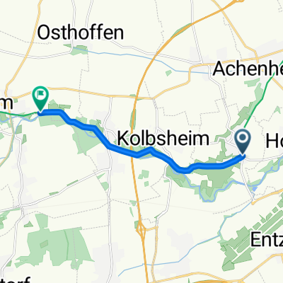
A cycling route starting in Hangenbieten, Grand Est, France.
Overview
About this route
- -:--
- Duration
- 516.4 km
- Distance
- 747 m
- Ascent
- 750 m
- Descent
- ---
- Avg. speed
- ---
- Max. altitude

Route quality
Waytypes & surfaces along the route
Waytypes
Quiet road
137.8 km
(27 %)
Road
104.8 km
(20 %)
Surfaces
Paved
332.1 km
(64 %)
Unpaved
11 km
(2 %)
Asphalt
301 km
(58 %)
Paved (undefined)
27.6 km
(5 %)
Route highlights
Points of interest along the route
Point of interest after 84.2 km
camping les mouettes
Point of interest after 173.4 km
camping municipal
Point of interest after 223.9 km
camping club ****
Point of interest after 226.1 km
camping à la ferme
Point of interest after 301.7 km
camping domaine chatigny
Point of interest after 378.3 km
flower camping
Continue with Bikemap
Use, edit, or download this cycling route
You would like to ride Ete 20.2 or customize it for your own trip? Here is what you can do with this Bikemap route:
Free features
- Save this route as favorite or in collections
- Copy & plan your own version of this route
- Split it into stages to create a multi-day tour
- Sync your route with Garmin or Wahoo
Premium features
Free trial for 3 days, or one-time payment. More about Bikemap Premium.
- Navigate this route on iOS & Android
- Export a GPX / KML file of this route
- Create your custom printout (try it for free)
- Download this route for offline navigation
Discover more Premium features.
Get Bikemap PremiumFrom our community
Other popular routes starting in Hangenbieten
 france 3000
- Distance
- 3,565.5 km
- Ascent
- 1,705 m
- Descent
- 1,683 m
- Location
- Hangenbieten, Grand Est, France
 Ete 20.1
- Distance
- 584.4 km
- Ascent
- 663 m
- Descent
- 666 m
- Location
- Hangenbieten, Grand Est, France
 elections
- Distance
- 52.6 km
- Ascent
- 379 m
- Descent
- 377 m
- Location
- Hangenbieten, Grand Est, France
 dimanche 1
- Distance
- 46.6 km
- Ascent
- 193 m
- Descent
- 192 m
- Location
- Hangenbieten, Grand Est, France
 Von Hangenbieten bis Soultz-les-Bains
- Distance
- 74.2 km
- Ascent
- 1,281 m
- Descent
- 1,261 m
- Location
- Hangenbieten, Grand Est, France
 Ete 20.2
- Distance
- 516.4 km
- Ascent
- 747 m
- Descent
- 750 m
- Location
- Hangenbieten, Grand Est, France
 toto
toto- Distance
- 79.1 km
- Ascent
- 554 m
- Descent
- 556 m
- Location
- Hangenbieten, Grand Est, France
 toto
toto- Distance
- 6.5 km
- Ascent
- 14 m
- Descent
- 4 m
- Location
- Hangenbieten, Grand Est, France
Open it in the app