I stage 9 ..... Gex – Morteau 28 Août 2012
- 128.6 km
- 1,491 m
- 1,343 m
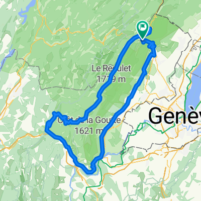
- Gex, Auvergne-Rhône-Alpes, France
A cycling route starting in Gex, Auvergne-Rhône-Alpes, France.
Overview
{DC1}End time: Total duration: 0h00:00 Overall average: - Average gradient: 3.22 % Included area: 1544.5139 ha Boundary coordinates: 46.7080 5.9753 ; 46.3743 6.1900 Details per segment distance | duration | avg. speed | max speed | ascent + | descent - km | hh:mm:ss | km/h | km/h | m | m 62.97 | 00:00:00 | 0.0 | 0.0 | 0 | 0{DC2}
created this 5 years ago
Route quality
Quiet road
29 km
46 %
Track
14.5 km
23 %
Paved
33.4 km
(53 %)
Unpaved
5 km
(8 %)
Asphalt
25.8 km
41 %
Paved (undefined)
7.6 km
12 %
Continue with Bikemap
You would like to ride Transju new tracé or customize it for your own trip? Here is what you can do with this Bikemap route:
Free trial for 3 days, or one-time payment. More about Bikemap Premium.
Discover more Premium features.
Get Bikemap PremiumFrom our community
Open it in the app