Wilson Park to NC State RR Champ course
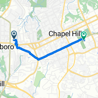
A cycling route starting in Carrboro, North Carolina, United States of America.
Overview
About this route
Starting from Wilson Park in Carrboro, this route heads out to Saxapahaw and then loops around the NC road race state championship course for 2010.
- -:--
- Duration
- 113.5 km
- Distance
- 334 m
- Ascent
- 336 m
- Descent
- ---
- Avg. speed
- ---
- Avg. speed
Continue with Bikemap
Use, edit, or download this cycling route
You would like to ride Wilson Park to NC State RR Champ course or customize it for your own trip? Here is what you can do with this Bikemap route:
Free features
- Save this route as favorite or in collections
- Copy & plan your own version of this route
- Sync your route with Garmin or Wahoo
Premium features
Free trial for 3 days, or one-time payment. More about Bikemap Premium.
- Navigate this route on iOS & Android
- Export a GPX / KML file of this route
- Create your custom printout (try it for free)
- Download this route for offline navigation
Discover more Premium features.
Get Bikemap PremiumFrom our community
Other popular routes starting in Carrboro
- Carrboro 52km
- Distance
- 51.8 km
- Ascent
- 259 m
- Descent
- 260 m
- Location
- Carrboro, North Carolina, United States of America
- Mapleview + Loop
- Distance
- 34 km
- Ascent
- 187 m
- Descent
- 187 m
- Location
- Carrboro, North Carolina, United States of America
- Saxapahaw 2
- Distance
- 36.1 km
- Ascent
- 297 m
- Descent
- 295 m
- Location
- Carrboro, North Carolina, United States of America
- Maple View Intermediate
- Distance
- 35.6 km
- Ascent
- 213 m
- Descent
- 212 m
- Location
- Carrboro, North Carolina, United States of America
- Chapel Hill loop
- Distance
- 24.3 km
- Ascent
- 211 m
- Descent
- 212 m
- Location
- Carrboro, North Carolina, United States of America
- East Main Street 120, Carrboro to East Main Street 120, Carrboro
- Distance
- 20.9 km
- Ascent
- 90 m
- Descent
- 86 m
- Location
- Carrboro, North Carolina, United States of America
- Wilson Park to NC State RR Champ course
- Distance
- 113.5 km
- Ascent
- 334 m
- Descent
- 336 m
- Location
- Carrboro, North Carolina, United States of America
- Southern Village to Whole Foods / Elliot Road area
- Distance
- 9.4 km
- Ascent
- 89 m
- Descent
- 105 m
- Location
- Carrboro, North Carolina, United States of America
Open it in the app