

PUH-Gyönk
A cycling route starting in Budapest XIV. kerület, Budapest, Hungary.
Overview
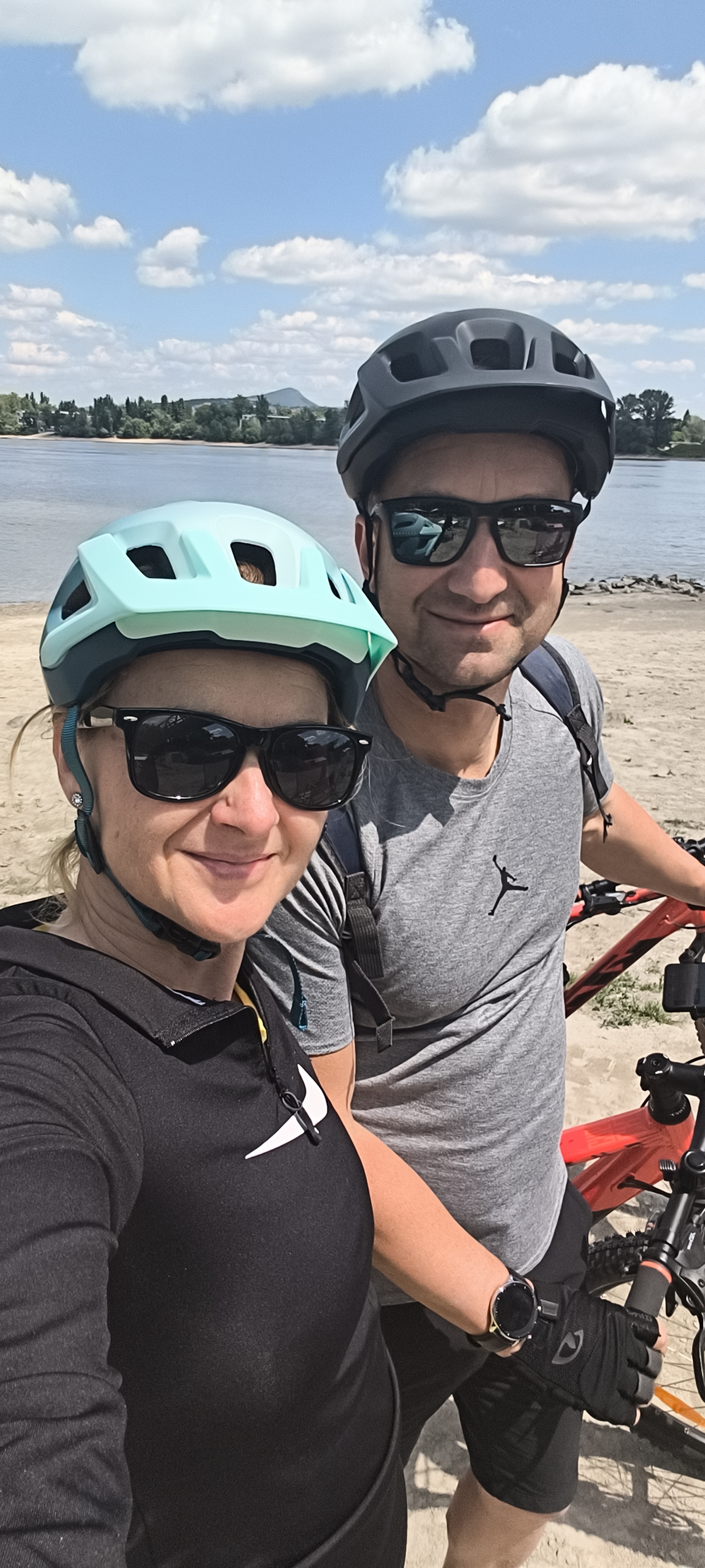
About this route
Dömsöd-Dunavecse-Dunaföldvár-6-oson-Paks-Pusztahencse-Nagydorog-Úzd-
- -:--
- Duration
- 158 km
- Distance
- 209 m
- Ascent
- 184 m
- Descent
- ---
- Avg. speed
- ---
- Max. altitude

Route quality
Waytypes & surfaces along the route
Waytypes
Quiet road
49.7 km
(31 %)
Busy road
39.4 km
(25 %)
Surfaces
Paved
110.3 km
(70 %)
Unpaved
11 km
(7 %)
Asphalt
102.4 km
(65 %)
Ground
6.9 km
(4 %)
Continue with Bikemap
Use, edit, or download this cycling route
You would like to ride PUH-Gyönk or customize it for your own trip? Here is what you can do with this Bikemap route:
Free features
- Save this route as favorite or in collections
- Copy & plan your own version of this route
- Split it into stages to create a multi-day tour
- Sync your route with Garmin or Wahoo
Premium features
Free trial for 3 days, or one-time payment. More about Bikemap Premium.
- Navigate this route on iOS & Android
- Export a GPX / KML file of this route
- Create your custom printout (try it for free)
- Download this route for offline navigation
Discover more Premium features.
Get Bikemap PremiumFrom our community
Other popular routes starting in Budapest XIV. kerület
 Zuglo_Sikator-Hungaroring-Kistarcsa
- Distance
- 41.2 km
- Ascent
- 238 m
- Descent
- 236 m
- Location
- Budapest XIV. kerület, Budapest, Hungary
 Budapest, Zugló - Fellini Római
- Distance
- 17.2 km
- Ascent
- 85 m
- Descent
- 86 m
- Location
- Budapest XIV. kerület, Budapest, Hungary
 Vársonéző körút az Örs vezér teréről
- Distance
- 33.2 km
- Ascent
- 105 m
- Descent
- 104 m
- Location
- Budapest XIV. kerület, Budapest, Hungary
 PUH-Hűvösvölgy-Ördögárok utca 3
- Distance
- 18.3 km
- Ascent
- 204 m
- Descent
- 104 m
- Location
- Budapest XIV. kerület, Budapest, Hungary
 Istvánffy utca 11, Budapest - Balatoni utca 34, Paloznak
- Distance
- 156.1 km
- Ascent
- 1,038 m
- Descent
- 1,033 m
- Location
- Budapest XIV. kerület, Budapest, Hungary
 2010.04.25.
- Distance
- 111.5 km
- Ascent
- 657 m
- Descent
- 663 m
- Location
- Budapest XIV. kerület, Budapest, Hungary
 micsodakirándulás
- Distance
- 1,245.9 km
- Ascent
- 2,949 m
- Descent
- 3,021 m
- Location
- Budapest XIV. kerület, Budapest, Hungary
 Árkád - Füzes cukrászda - népsziget
- Distance
- 15.6 km
- Ascent
- 39 m
- Descent
- 50 m
- Location
- Budapest XIV. kerület, Budapest, Hungary
Open it in the app