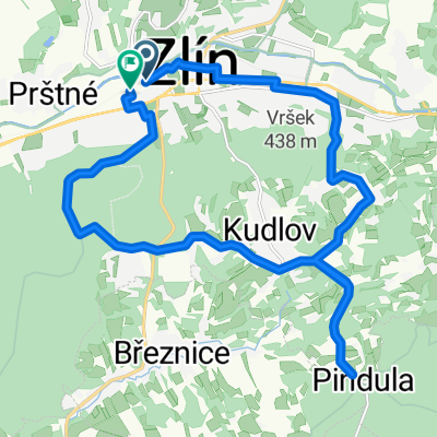
Zlín - Portáš
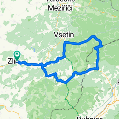
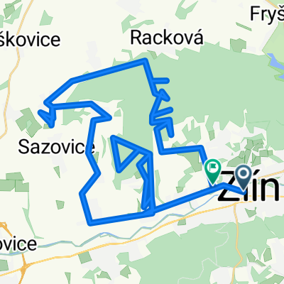
A cycling route starting in Zlín, Zlín, Czechia.
Overview
About this route
Route from Zlín to Portáš, then via Valašské Klobouky and Lysá p. Makytou, returning via Velký Hrozenkov and Valašská Polanka.
Ideal for road bikes, but we rode it on mountain bikes and had no problem.
We set off at half past nine in the morning and were home by four in the afternoon.
- -:--
- Duration
- 129.3 km
- Distance
- 1,272 m
- Ascent
- 1,272 m
- Descent
- ---
- Avg. speed
- ---
- Max. altitude
Route highlights
Points of interest along the route
 - Point of interest after 69.4 km- Portáš 
Continue with Bikemap
Use, edit, or download this cycling route
You would like to ride Zlín - Portáš or customize it for your own trip? Here is what you can do with this Bikemap route:
Free features
- Save this route as favorite or in collections
- Copy & plan your own version of this route
- Split it into stages to create a multi-day tour
- Sync your route with Garmin or Wahoo
Premium features
Free trial for 3 days, or one-time payment. More about Bikemap Premium.
- Navigate this route on iOS & Android
- Export a GPX / KML file of this route
- Create your custom printout (try it for free)
- Download this route for offline navigation
Discover more Premium features.
Get Bikemap PremiumFrom our community
Other popular routes starting in Zlín
 Okruh na vsedni den Okruh na vsedni den- Distance
- 20.1 km
- Ascent
- 312 m
- Descent
- 301 m
- Location
- Zlín, Zlín, Czechia
 
 Kocanda Chlum Kocanda Chlum- Distance
- 19.5 km
- Ascent
- 292 m
- Descent
- 292 m
- Location
- Zlín, Zlín, Czechia
 
 Zlín- Pindula-Zlín Zlín- Pindula-Zlín- Distance
- 32.7 km
- Ascent
- 332 m
- Descent
- 336 m
- Location
- Zlín, Zlín, Czechia
 
 Trnavské kolecko Trnavské kolecko- Distance
- 47.3 km
- Ascent
- 493 m
- Descent
- 493 m
- Location
- Zlín, Zlín, Czechia
 
 jaroslavice - pindula - želechovice jaroslavice - pindula - želechovice- Distance
- 15.6 km
- Ascent
- 349 m
- Descent
- 336 m
- Location
- Zlín, Zlín, Czechia
 
 Zlín - Lysá hora Zlín - Lysá hora- Distance
- 111.7 km
- Ascent
- 1,970 m
- Descent
- 879 m
- Location
- Zlín, Zlín, Czechia
 
 zlin- rackova- horni lapac- hadovna- pod ondrejovskem- frystak- lesna- kostelec -zlin zlin- rackova- horni lapac- hadovna- pod ondrejovskem- frystak- lesna- kostelec -zlin- Distance
- 36.3 km
- Ascent
- 660 m
- Descent
- 660 m
- Location
- Zlín, Zlín, Czechia
 
 Kaprův okruh - kolem Pinduly Kaprův okruh - kolem Pinduly- Distance
- 17.4 km
- Ascent
- 470 m
- Descent
- 471 m
- Location
- Zlín, Zlín, Czechia
 
Open it in the app

