Durchs Erdinger Land + Speichersee
A cycling route starting in Finsing, Bavaria, Germany.
Overview
About this route
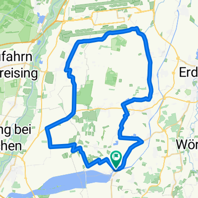
The start was in Munich (Berg am Laim). Head out through the trade fair area to Parsdorf, then take the farm track under the 380 kV power line to Purfing. Due to rain and horses, this farm and forest track was very muddy. It's better to follow the 'official' cycle path in such weather conditions. At the northern edge of the Ebersberg Forest towards Forstinning; a short break at the cafe by the church. Continue through the village, pass under the B 12 road and head towards Forstern. Pass the gravel pit and climb the hill at Krelling and Wetting with a great view over the eastern part of Munich. Through Oberbuch, Mittelbuch, and Buch to Hallnberg, always following the 'Durchs Erdinger Land' signage. At Hörlkofen, cross the railway tracks, then head to Kirchötting and Wörth. Under the S-Bahn underpass at St. Koloman, up the steep climb at Hofsingelding and via Riexing (beautiful view to the airport and Freising), Neuching and Finsing to the storage lake.
Tips: On nice days, a detour to the Wiflinger bathing pond is worthwhile.
At Hofsingelding, turn left and at Lupperg cross the FTO (St2580) and go via Oberneuching and Finsing to Neufinsing.
- -:--
- Duration
- 85.3 km
- Distance
- 156 m
- Ascent
- 162 m
- Descent
- ---
- Avg. speed
- ---
- Max. altitude
Continue with Bikemap
Use, edit, or download this cycling route
You would like to ride Durchs Erdinger Land + Speichersee or customize it for your own trip? Here is what you can do with this Bikemap route:
Free features
- Save this route as favorite or in collections
- Copy & plan your own version of this route
- Split it into stages to create a multi-day tour
- Sync your route with Garmin or Wahoo
Premium features
Free trial for 3 days, or one-time payment. More about Bikemap Premium.
- Navigate this route on iOS & Android
- Export a GPX / KML file of this route
- Create your custom printout (try it for free)
- Download this route for offline navigation
Discover more Premium features.
Get Bikemap PremiumFrom our community
Other popular routes starting in Finsing
 Trainingsrunde durchs Ebersberger Hinterland
- Distance
- 52.4 km
- Ascent
- 296 m
- Descent
- 290 m
- Location
- Finsing, Bavaria, Germany
 Nach Wasserburg und zurück
- Distance
- 96.3 km
- Ascent
- 693 m
- Descent
- 659 m
- Location
- Finsing, Bavaria, Germany
 Finsing nach Erding und zurück
- Distance
- 37.1 km
- Ascent
- 204 m
- Descent
- 202 m
- Location
- Finsing, Bavaria, Germany
 Nach Moosburg und zurück
- Distance
- 86.1 km
- Ascent
- 188 m
- Descent
- 216 m
- Location
- Finsing, Bavaria, Germany
 Neufinsing - Haar
- Distance
- 15.5 km
- Ascent
- 68 m
- Descent
- 24 m
- Location
- Finsing, Bavaria, Germany
 Durchs Erdinger Land + Speichersee
- Distance
- 85.3 km
- Ascent
- 156 m
- Descent
- 162 m
- Location
- Finsing, Bavaria, Germany
 Speichersee Rundtour ab Neufinsing
- Distance
- 21 km
- Ascent
- 9 m
- Descent
- 8 m
- Location
- Finsing, Bavaria, Germany
 Neufinsinger Runde
- Distance
- 46.5 km
- Ascent
- 41 m
- Descent
- 53 m
- Location
- Finsing, Bavaria, Germany
Open it in the app


