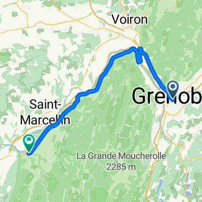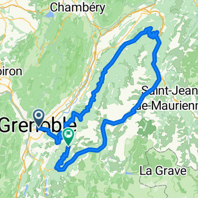
Grenoble to La Maison d'Euterpe
- 38.4 km
- 178 m
- 131 m
- La Tronche, Auvergne-Rhône-Alpes, France
A cycling route starting in La Tronche, Auvergne-Rhône-Alpes, France.
Overview
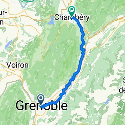
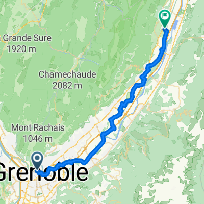
Second stage
created this 15 years ago
Route highlights

Sprint Domène :
Sprint

Côte de Saint André

Côte de Saint-Ismier
Continue with Bikemap
You would like to ride Trophée Ghuislain Lambert - Etape 2/2 or customize it for your own trip? Here is what you can do with this Bikemap route:
Free trial for 3 days, or one-time payment. More about Bikemap Premium.
Discover more Premium features.
Get Bikemap PremiumFrom our community
Open it in the app