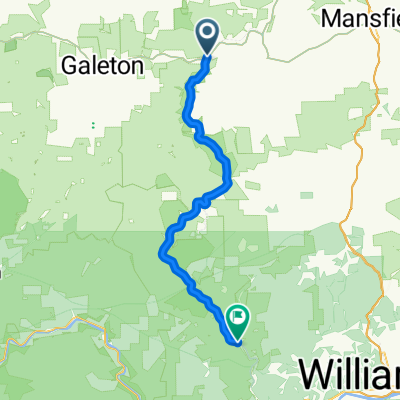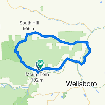
Marsh Creek Road to Marsh Creek Road via Muck
- 40.8 km
- 565 m
- 563 m
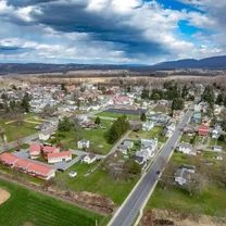
- Wellsboro, Pennsylvania, United States
A cycling route starting in Wellsboro, Pennsylvania, United States.
Overview
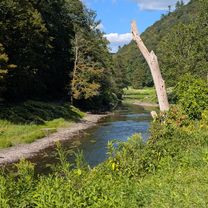
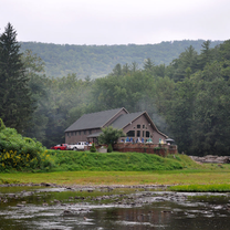
An Awesome road race hosted by Twisted Spokes. It's very well organized and the course is challenging. The roads are rough but not as rough as the cobbles in Flanders. Start down the tarmac and leave the airport heading due south. Continue South - keep right at intersection. You turn east and head uphill at the bottom of the course. You do the lower loop twice and then head back to the airport. The finish line is NOT in the airport but on the main entrance to the airport.
created this 15 years ago
Continue with Bikemap
You would like to ride Laurel Flyer Road Race or customize it for your own trip? Here is what you can do with this Bikemap route:
Free trial for 3 days, or one-time payment. More about Bikemap Premium.
Discover more Premium features.
Get Bikemap PremiumFrom our community
Open it in the app