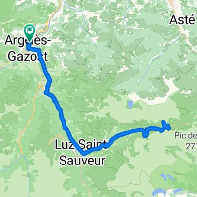
Overview
About this route
- -:--
- Duration
- 21.5 km
- Distance
- 1,248 m
- Ascent
- 35 m
- Descent
- ---
- Avg. speed
- ---
- Max. altitude
Part of
Pyreneeën
3 stages
Route quality
Waytypes & surfaces along the route
Waytypes
Road
16.1 km
(75 %)
Busy road
2.5 km
(12 %)
Surfaces
Paved
4.5 km
(21 %)
Asphalt
4.5 km
(21 %)
Undefined
17.1 km
(79 %)
Continue with Bikemap
Use, edit, or download this cycling route
You would like to ride Hautacam or customize it for your own trip? Here is what you can do with this Bikemap route:
Free features
- Save this route as favorite or in collections
- Copy & plan your own version of this route
- Sync your route with Garmin or Wahoo
Premium features
Free trial for 3 days, or one-time payment. More about Bikemap Premium.
- Navigate this route on iOS & Android
- Export a GPX / KML file of this route
- Create your custom printout (try it for free)
- Download this route for offline navigation
Discover more Premium features.
Get Bikemap PremiumFrom our community
Other popular routes starting in Argelès-Gazost
- Argeles Gazost-Col Spandelles-Col de Soulor
- Distance
- 58.6 km
- Ascent
- 1,756 m
- Descent
- 1,764 m
- Location
- Argelès-Gazost, Occitanie, France
- **14-S. Argelès-Gazost - Lac de Cap Long (136,5 Km)
- Distance
- 136.3 km
- Ascent
- 5,080 m
- Descent
- 3,641 m
- Location
- Argelès-Gazost, Occitanie, France
- Pirenei_libro_04_mar25
- Distance
- 114.7 km
- Ascent
- 3,020 m
- Descent
- 2,824 m
- Location
- Argelès-Gazost, Occitanie, France
- Argelès-Gazost - cirque de Troumousse - Argelès-Gazost
- Distance
- 117.9 km
- Ascent
- 2,264 m
- Descent
- 2,264 m
- Location
- Argelès-Gazost, Occitanie, France
- Al oeste de Argelès-Gazost
- Distance
- 64 km
- Ascent
- 1,877 m
- Descent
- 1,880 m
- Location
- Argelès-Gazost, Occitanie, France
- 2016 Ride Day 51 - Argelès-Gazost to Gèdre
- Distance
- 63.8 km
- Ascent
- 818 m
- Descent
- 815 m
- Location
- Argelès-Gazost, Occitanie, France
- 2016 Ride Day 52 - Argelès-Gazost to Bagnères-de-Bigorre
- Distance
- 40.6 km
- Ascent
- 540 m
- Descent
- 523 m
- Location
- Argelès-Gazost, Occitanie, France
- V13 Col de Couraduque
- Distance
- 16.3 km
- Ascent
- 963 m
- Descent
- 40 m
- Location
- Argelès-Gazost, Occitanie, France
Open it in the app