

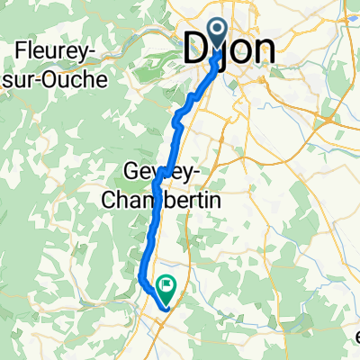
Frankreich Dijon- Lyon Tag 5-10
A cycling route starting in Dijon, Bourgogne-Franche-Comté, France.
Overview
About this route
- -:--
- Duration
- 315.9 km
- Distance
- 979 m
- Ascent
- 1,051 m
- Descent
- ---
- Avg. speed
- ---
- Avg. speed
Route quality
Waytypes & surfaces along the route
Waytypes
Quiet road
101.5 km
(32 %)
Path
75.6 km
(24 %)
Surfaces
Paved
181.4 km
(57 %)
Unpaved
13.9 km
(4 %)
Asphalt
178.6 km
(57 %)
Gravel
11.3 km
(4 %)
Route highlights
Points of interest along the route
Point of interest after 45.1 km
Etappe 46,4 km 240hm
Point of interest after 103 km
Etappe Beaune - Autun 52,8 km 704hm
Point of interest after 147.6 km
Etappe Autun -Le Tronchat 330hm 40km
Point of interest after 200.1 km
Etappe Le Tronchat bis Saint Genoux le National 50,8km 310 hm
Point of interest after 266.6 km
Etappe Saint Genoux le National -Belleville 65,8 km 210hm
Continue with Bikemap
Use, edit, or download this cycling route
You would like to ride Frankreich Dijon- Lyon Tag 5-10 or customize it for your own trip? Here is what you can do with this Bikemap route:
Free features
- Save this route as favorite or in collections
- Copy & plan your own version of this route
- Split it into stages to create a multi-day tour
- Sync your route with Garmin or Wahoo
Premium features
Free trial for 3 days, or one-time payment. More about Bikemap Premium.
- Navigate this route on iOS & Android
- Export a GPX / KML file of this route
- Create your custom printout (try it for free)
- Download this route for offline navigation
Discover more Premium features.
Get Bikemap PremiumFrom our community
Other popular routes starting in Dijon
 Girolibero: Borgogna da Digione a Tournus
- Distance
- 120.3 km
- Ascent
- 231 m
- Descent
- 275 m
- Location
- Dijon, Bourgogne-Franche-Comté, France
 La Cras - Velars - La Pérouse
- Distance
- 26.6 km
- Ascent
- 435 m
- Descent
- 434 m
- Location
- Dijon, Bourgogne-Franche-Comté, France
 Plattelandsrit vanuit Dijon
- Distance
- 39.6 km
- Ascent
- 516 m
- Descent
- 515 m
- Location
- Dijon, Bourgogne-Franche-Comté, France
 Toul Le-Puy Etappe 4 Dijon Beaune
- Distance
- 43.7 km
- Ascent
- 132 m
- Descent
- 164 m
- Location
- Dijon, Bourgogne-Franche-Comté, France
 Girolibero Digione–Montbeliard
- Distance
- 251 km
- Ascent
- 421 m
- Descent
- 352 m
- Location
- Dijon, Bourgogne-Franche-Comté, France
 Circuit des 4 communes
- Distance
- 19.4 km
- Ascent
- 270 m
- Descent
- 271 m
- Location
- Dijon, Bourgogne-Franche-Comté, France
 5 Dijon - Montbard Camping Municipal
- Distance
- 79.3 km
- Ascent
- 339 m
- Descent
- 370 m
- Location
- Dijon, Bourgogne-Franche-Comté, France
 De Cour de la gare à La Berchère
- Distance
- 26.6 km
- Ascent
- 157 m
- Descent
- 168 m
- Location
- Dijon, Bourgogne-Franche-Comté, France
Open it in the app