"Dolenjska runda"
- 38.2 km
- 250 m
- 252 m
- Šentjernej, Občina Šentjernej, Slovenia
A cycling route starting in Šentjernej, Občina Šentjernej, Slovenia.
Overview
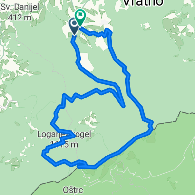
Start in Šentjernej, flat terrain to Smednik, then a moderate climb to Raka and rolling terrain to Škocjan. Followed by flat terrain to Šmarjeta, Šmarješke Toplice, Drage and Maharovec back to Šentjernej. The road is mostly good, but worse in some places.
created this 15 years ago
Route highlights
Continue with Bikemap
You would like to ride Šentjernej-Raka-Bučka-Šmarjeta-Šentjernej or customize it for your own trip? Here is what you can do with this Bikemap route:
Free trial for 3 days, or one-time payment. More about Bikemap Premium.
Discover more Premium features.
Get Bikemap PremiumFrom our community
Open it in the app