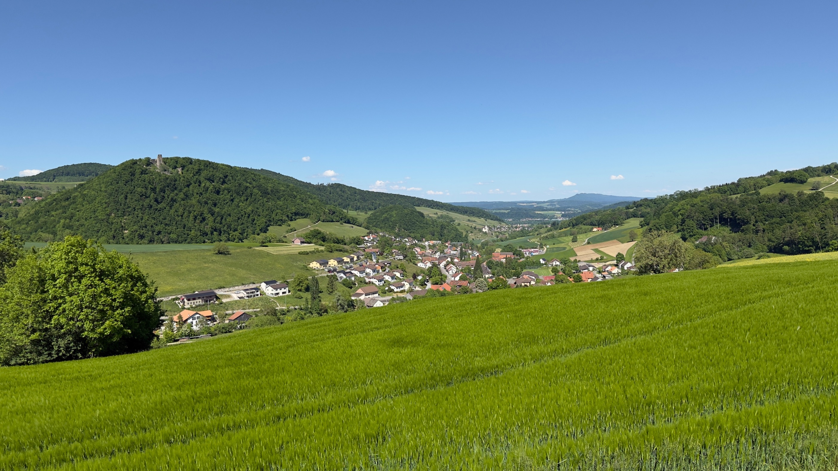
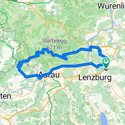
Reuss-Zugersee-Emmenbrücke
A cycling route starting in Othmarsingen, Canton of Aargau, Switzerland.
Overview
About this route
- -:--
- Duration
- 63.8 km
- Distance
- 228 m
- Ascent
- 199 m
- Descent
- ---
- Avg. speed
- 466 m
- Avg. speed
Route quality
Waytypes & surfaces along the route
Waytypes
Quiet road
17 km
(27 %)
Cycleway
14.7 km
(23 %)
Surfaces
Paved
36.2 km
(57 %)
Unpaved
2.6 km
(4 %)
Asphalt
32.7 km
(51 %)
Paved (undefined)
1.9 km
(3 %)
Continue with Bikemap
Use, edit, or download this cycling route
You would like to ride Reuss-Zugersee-Emmenbrücke or customize it for your own trip? Here is what you can do with this Bikemap route:
Free features
- Save this route as favorite or in collections
- Copy & plan your own version of this route
- Sync your route with Garmin or Wahoo
Premium features
Free trial for 3 days, or one-time payment. More about Bikemap Premium.
- Navigate this route on iOS & Android
- Export a GPX / KML file of this route
- Create your custom printout (try it for free)
- Download this route for offline navigation
Discover more Premium features.
Get Bikemap PremiumFrom our community
Other popular routes starting in Othmarsingen
- Nachmittagstour, Bünztal
- Distance
- 17.2 km
- Ascent
- 49 m
- Descent
- 40 m
- Location
- Othmarsingen, Canton of Aargau, Switzerland
- Möriken-Niederlenz
- Distance
- 14.2 km
- Ascent
- 151 m
- Descent
- 141 m
- Location
- Othmarsingen, Canton of Aargau, Switzerland
- Rundfahrt Mägenwil
- Distance
- 13.1 km
- Ascent
- 336 m
- Descent
- 331 m
- Location
- Othmarsingen, Canton of Aargau, Switzerland
- an der Aare ist's schön
- Distance
- 27.2 km
- Ascent
- 107 m
- Descent
- 101 m
- Location
- Othmarsingen, Canton of Aargau, Switzerland
- 200620 Othmarsingen Aarau retour
- Distance
- 33.3 km
- Ascent
- 144 m
- Descent
- 143 m
- Location
- Othmarsingen, Canton of Aargau, Switzerland
- Hochdorf-Sempach-Sursee-retour CLONED FROM ROUTE 1491245
- Distance
- 102.3 km
- Ascent
- 760 m
- Descent
- 760 m
- Location
- Othmarsingen, Canton of Aargau, Switzerland
- Buchenweg 2, Othmarsingen nach Buchenweg 2, Othmarsingen
- Distance
- 31.4 km
- Ascent
- 457 m
- Descent
- 446 m
- Location
- Othmarsingen, Canton of Aargau, Switzerland
- Mägenwil-Hägglingen-Wohlenschwil-Mägenwil
- Distance
- 11.3 km
- Ascent
- 315 m
- Descent
- 316 m
- Location
- Othmarsingen, Canton of Aargau, Switzerland
Open it in the app