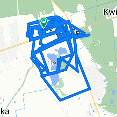
Łęczyca - Piątek „W krainie Diabła Boruty”
- 66.9 km
- 152 m
- 153 m
- Łęczyca, Łódź Voivodeship, Poland
A cycling route starting in Łęczyca, Łódź Voivodeship, Poland.
Overview
created this 15 years ago
Route highlights

Kutno

Palac na wyspie

Dworek

Szlak Bitwy nad Bzura

Srodek Polski

Cos ciekawego pewnie jest

Kolegiata w Tumie

Zamek Boruty
Continue with Bikemap
You would like to ride Leczyca-Kutno-Piatek-Leczyca or customize it for your own trip? Here is what you can do with this Bikemap route:
Free trial for 3 days, or one-time payment. More about Bikemap Premium.
Discover more Premium features.
Get Bikemap PremiumFrom our community
Open it in the app