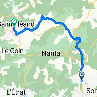
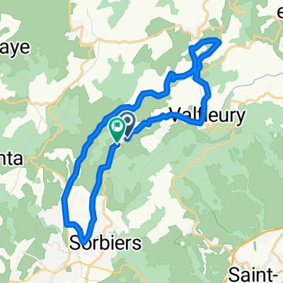
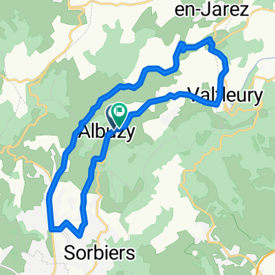
Sorbiers Cycling
A cycling route starting in Sorbiers, Auvergne-Rh么ne-Alpes, France.
Overview
About this route
- -:--
- Duration
- 125 km
- Distance
- 1,740 m
- Ascent
- 1,872 m
- Descent
- ---
- Avg. speed
- ---
- Max. altitude
Route quality
Waytypes & surfaces along the route
Waytypes
Busy road
70.9 km
(57 %)
Road
40 km
(32 %)
Surfaces
Paved
22.4 km
(18 %)
Asphalt
22.4 km
(18 %)
Undefined
102.7 km
(82 %)
Continue with Bikemap
Use, edit, or download this cycling route
You would like to ride Sorbiers Cycling or customize it for your own trip? Here is what you can do with this Bikemap route:
Free features
- Save this route as favorite or in collections
- Copy & plan your own version of this route
- Split it into stages to create a multi-day tour
- Sync your route with Garmin or Wahoo
Premium features
Free trial for 3 days, or one-time payment. More about Bikemap Premium.
- Navigate this route on iOS & Android
- Export a GPX / KML file of this route
- Create your custom printout (try it for free)
- Download this route for offline navigation
Discover more Premium features.
Get Bikemap PremiumFrom our community
Other popular routes starting in Sorbiers
- x x
- Distance
- 1.4 km
- Ascent
- 0 m
- Descent
- 14 m
- Location
- Sorbiers, Auvergne-Rh么ne-Alpes, France
- Sorbiers Cycling
- Distance
- 125 km
- Ascent
- 1,740 m
- Descent
- 1,872 m
- Location
- Sorbiers, Auvergne-Rh么ne-Alpes, France
- De Route de Sorbiers 脿 Route de Sorbiers
- Distance
- 20.6 km
- Ascent
- 301 m
- Descent
- 323 m
- Location
- Sorbiers, Auvergne-Rh么ne-Alpes, France
- Montee Kivilev
- Distance
- 9.7 km
- Ascent
- 369 m
- Descent
- 92 m
- Location
- Sorbiers, Auvergne-Rh么ne-Alpes, France
- De Urbain 脿 Rue de la Calaminiere
- Distance
- 5.7 km
- Ascent
- 76 m
- Descent
- 235 m
- Location
- Sorbiers, Auvergne-Rh么ne-Alpes, France
- etapa 2
- Distance
- 167.4 km
- Ascent
- 1,860 m
- Descent
- 1,859 m
- Location
- Sorbiers, Auvergne-Rh么ne-Alpes, France
- De 15 Rue de la Buyeti猫re, Sorbiers 脿 7 Rue de la Buyeti猫re, Sorbiers
- Distance
- 90.8 km
- Ascent
- 2,219 m
- Descent
- 2,226 m
- Location
- Sorbiers, Auvergne-Rh么ne-Alpes, France
- Recovered Route
- Distance
- 15.1 km
- Ascent
- 791 m
- Descent
- 716 m
- Location
- Sorbiers, Auvergne-Rh么ne-Alpes, France
Open it in the app