new combined
- 25.5 km
- 281 m
- 281 m
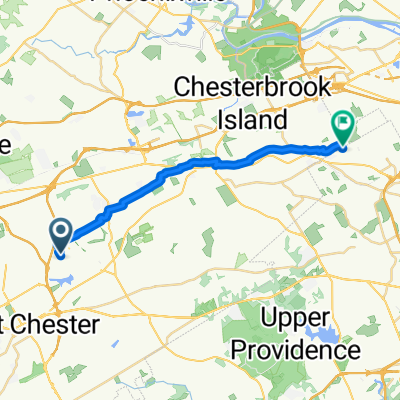
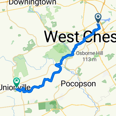
- West Chester, Pennsylvania, United States
A cycling route starting in West Chester, Pennsylvania, United States.
Overview
Start 1255 Buck Lane.
0.00 Left at end of Driveway
0.17 Right on Greentree
0.49 Cross Rt 202 bear Left
0.50 Continue On Rt 202
0.99 Right on Old Wilmington Pike
1.09 Right Knolls Road
1.67 Right Birmingham
2.8 Left Meetinghouse
4.0 Right Creek Road
4.6 Bear Left W Street Road CAUTION
4.7 Right continue on Creek Road
6.1 Left S Creek Road
7.25 Left Rt 842
8.1 Left on Unionville wawa set rd 842
9.9 Right Northbrook
10.7 Left on Brandywine Drive
13.0 Left on Embreeyville Road Rt 162
15.0 Right Powell
15.2 Bear right Brandywine creek rd
16.3 Right over bridge
16.3 Left Harveys Bridge rd
16.4 Left Laurel Rd
18.5 Cross Strasburg Rd
Straight onto Mortonville
19.3 Cross Saw Mill Rd
19.4 Right S Caln
20.4 Right Oaklyn
21.1 Straight on Chestnut
nice downhill starts here
22.4 Right Broadrun
23 Cross Shadyside
23.9 Left Broad Run
25.2 Left Strasburg
25.3 Right Broad Run
Cross Telegraph Rd Rt 162
Onto Gravel Road
26.0 Gravel Road Ends
Right Broad Run
27.0 Left Northbrook
27.3 Right Camp Linden
28.0 Right WaWaset
28.9 Left Bridge Road
29.7 Right S Creek
30.0 Left onto Driveway to no outlet path
30.8 Straight Blue Rock
31.6 Right Carroll Hill
Straight Barn Hill
31.7 Left Marlin
32.2 Right Birmingham Road
32.8 Left lenepe
33.0 Right Tigue
33.8 Right New Street
35.4 Left 926
35.9 Right Bridlewood
Across Rt 202 into Thornbury
Left Greentree
Left Buck Lane to 1255
37.00 total miles
created this 15 years ago
Continue with Bikemap
You would like to ride saturday lunch ride or customize it for your own trip? Here is what you can do with this Bikemap route:
Free trial for 3 days, or one-time payment. More about Bikemap Premium.
Discover more Premium features.
Get Bikemap PremiumFrom our community
Open it in the app