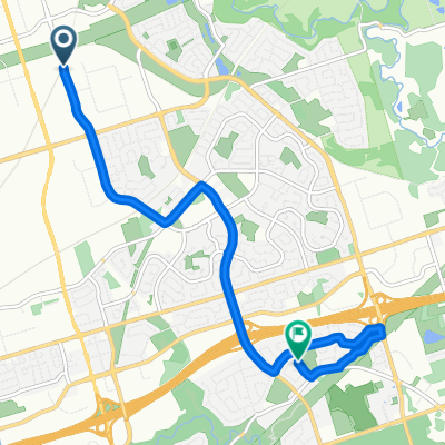
Tapscott Rd, Toronto to Seven Oaks, Toronto
- 8.5 km
- 63 m
- 77 m
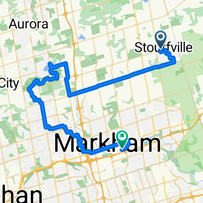
- Markham, Ontario, Canada
Quiet road
4 km26 %Road
3.7 km24 %Paved
14.8 km(97 %)Asphalt
14.4 km94 %Paved (undefined)
0.5 km3 %Undefined
0.5 km3 %Free trial for 3 days, or one-time payment. More about Bikemap Premium.
Discover more Premium features.
Get Bikemap PremiumOpen it in the app