

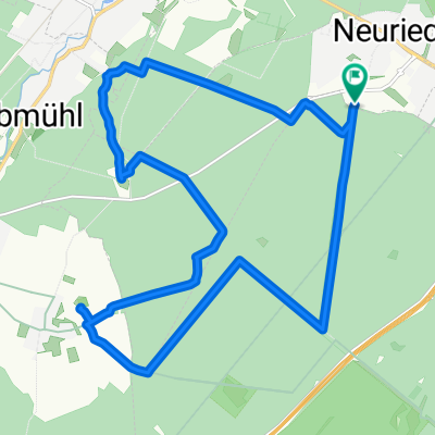
München Südwest: Forstenried – Isartal – Hohenschäftlarn – Wangen – Buchendorf – Forstenried (sportliche Tour)
A cycling route starting in Neuried, Bavaria, Germany.
Overview
About this route
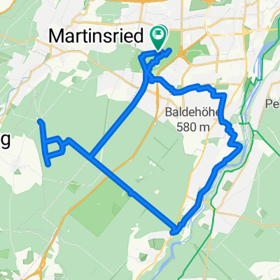
Type: Sporty ride with a lot of forest share and an ascent from the Isar valley. According to our app, it was 380 hm of ascent, not just 330. The ratio of asphalt to forest paths is about 30 : 70. Recommended only for ambitious riders.
Bike types: MTB, fitness bike, cyclocross, gravel bike (coarse profile needed)
Tour: Forstenried – Isartal – Hohenschäftlarn – Wangen – Buchendorf – Forstenried
- -:--
- Duration
- 41.1 km
- Distance
- 242 m
- Ascent
- 240 m
- Descent
- ---
- Avg. speed
- ---
- Max. altitude

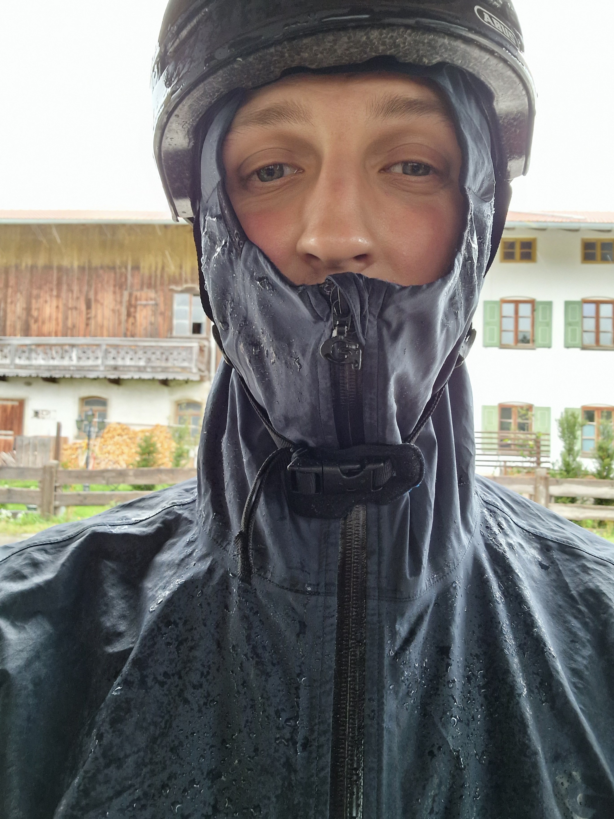
Route photos
\"")
\"")
\"")
Route quality
Waytypes & surfaces along the route
Waytypes
Track
29.2 km
(71 %)
Quiet road
7.8 km
(19 %)
Surfaces
Paved
19.7 km
(48 %)
Unpaved
21 km
(51 %)
Asphalt
19.7 km
(48 %)
Gravel
18.1 km
(44 %)
Continue with Bikemap
Use, edit, or download this cycling route
You would like to ride München Südwest: Forstenried – Isartal – Hohenschäftlarn – Wangen – Buchendorf – Forstenried (sportliche Tour) or customize it for your own trip? Here is what you can do with this Bikemap route:
Free features
- Save this route as favorite or in collections
- Copy & plan your own version of this route
- Sync your route with Garmin or Wahoo
Premium features
Free trial for 3 days, or one-time payment. More about Bikemap Premium.
- Navigate this route on iOS & Android
- Export a GPX / KML file of this route
- Create your custom printout (try it for free)
- Download this route for offline navigation
Discover more Premium features.
Get Bikemap PremiumFrom our community
Other popular routes starting in Neuried
 Forstenrieder Park: Neuried - Keltenschanze Buchendorf - Forsthaus Kasten
- Distance
- 18 km
- Ascent
- 118 m
- Descent
- 117 m
- Location
- Neuried, Bavaria, Germany
 Zum Tegernsee
- Distance
- 76.7 km
- Ascent
- 545 m
- Descent
- 241 m
- Location
- Neuried, Bavaria, Germany
 München-Forsthaus Kasten-Buchenhain-Waldwirtschaft
- Distance
- 36.7 km
- Ascent
- 274 m
- Descent
- 271 m
- Location
- Neuried, Bavaria, Germany
 Klein STA Runde
- Distance
- 49 km
- Ascent
- 259 m
- Descent
- 260 m
- Location
- Neuried, Bavaria, Germany
 Wörthsee und Ammersee
- Distance
- 76 km
- Ascent
- 586 m
- Descent
- 575 m
- Location
- Neuried, Bavaria, Germany
 Harras - Herrsching/Ammersee
- Distance
- 35.5 km
- Ascent
- 209 m
- Descent
- 215 m
- Location
- Neuried, Bavaria, Germany
 Sehr schöne StarnbergerSee Umrundung
- Distance
- 110.1 km
- Ascent
- 694 m
- Descent
- 648 m
- Location
- Neuried, Bavaria, Germany
 TSV_2016_04_18_Ersatztour
- Distance
- 51.7 km
- Ascent
- 271 m
- Descent
- 271 m
- Location
- Neuried, Bavaria, Germany
Open it in the app