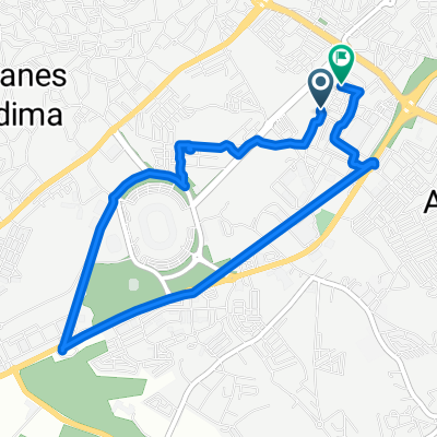
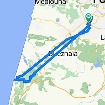
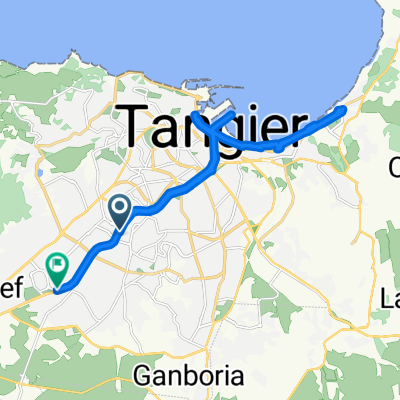
De La Rue 14, Tanger a Unnamed Road, Stehat
- 130.9 km
- 2,960 m
- 3,027 m
- Tangier, Région de Tanger-Tétouan, Morocco
A cycling route starting in Tangier, Région de Tanger-Tétouan, Morocco.
Overview
created this 5 years ago
Route quality
Quiet road
62.9 km
(48 %)
Track
3.9 km
(3 %)
Paved
106.1 km
(81 %)
Unpaved
1.3 km
(1 %)
Asphalt
106.1 km
(81 %)
Unpaved (undefined)
1.3 km
(1 %)
Undefined
23.6 km
(18 %)
Continue with Bikemap
You would like to ride De La Rue 14, Tanger a Unnamed Road, Stehat or customize it for your own trip? Here is what you can do with this Bikemap route:
Free trial for 3 days, or one-time payment. More about Bikemap Premium.
Discover more Premium features.
Get Bikemap PremiumFrom our community
Open it in the app