Hase Ddorf 1
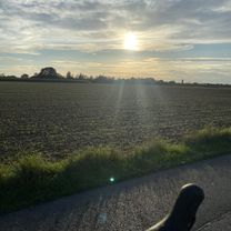
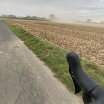
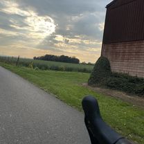
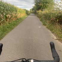
A cycling route starting in Troisdorf, North Rhine-Westphalia, Germany.
Overview
About this route
- -:--
- Duration
- 91.8 km
- Distance
- 87 m
- Ascent
- 95 m
- Descent
- ---
- Avg. speed
- ---
- Max. altitude
Route quality
Waytypes & surfaces along the route
Waytypes
Track
27.6 km
(30 %)
Path
24.8 km
(27 %)
Surfaces
Paved
59.7 km
(65 %)
Unpaved
21.1 km
(23 %)
Asphalt
58.8 km
(64 %)
Gravel
20.2 km
(22 %)
Continue with Bikemap
Use, edit, or download this cycling route
You would like to ride Hase Ddorf 1 or customize it for your own trip? Here is what you can do with this Bikemap route:
Free features
- Save this route as favorite or in collections
- Copy & plan your own version of this route
- Split it into stages to create a multi-day tour
- Sync your route with Garmin or Wahoo
Premium features
Free trial for 3 days, or one-time payment. More about Bikemap Premium.
- Navigate this route on iOS & Android
- Export a GPX / KML file of this route
- Create your custom printout (try it for free)
- Download this route for offline navigation
Discover more Premium features.
Get Bikemap PremiumFrom our community
Other popular routes starting in Troisdorf
- Naafbachtalrunde
- Distance
- 32.8 km
- Ascent
- 429 m
- Descent
- 417 m
- Location
- Troisdorf, North Rhine-Westphalia, Germany
- Gertrud-Bäumer-Straße, Troisdorf nach Gertrud-Bäumer-Straße, Troisdorf
- Distance
- 13.4 km
- Ascent
- 14 m
- Descent
- 13 m
- Location
- Troisdorf, North Rhine-Westphalia, Germany
- WahnN4
- Distance
- 34.7 km
- Ascent
- 235 m
- Descent
- 231 m
- Location
- Troisdorf, North Rhine-Westphalia, Germany
- Rund um Troisdorf
- Distance
- 26.2 km
- Ascent
- 92 m
- Descent
- 93 m
- Location
- Troisdorf, North Rhine-Westphalia, Germany
- Im Probstgarten 31, Troisdorf nach Oberstraße 8, Niederkassel
- Distance
- 9.6 km
- Ascent
- 134 m
- Descent
- 139 m
- Location
- Troisdorf, North Rhine-Westphalia, Germany
- Rund um den Flughafen Köln/Bonn
- Distance
- 24.6 km
- Ascent
- 105 m
- Descent
- 66 m
- Location
- Troisdorf, North Rhine-Westphalia, Germany
- Drachenfelser Ländchen - Remagen
- Distance
- 73.1 km
- Ascent
- 260 m
- Descent
- 258 m
- Location
- Troisdorf, North Rhine-Westphalia, Germany
- Troisdorf Bensberg Heiligenhaus Lohmar
- Distance
- 52.3 km
- Ascent
- 338 m
- Descent
- 331 m
- Location
- Troisdorf, North Rhine-Westphalia, Germany
Open it in the app