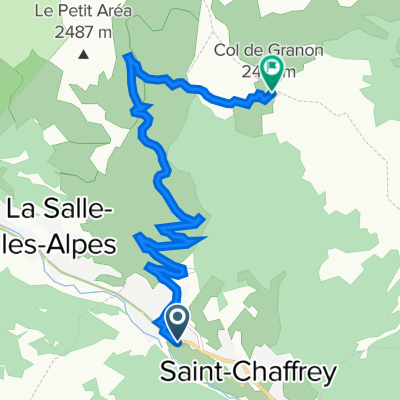
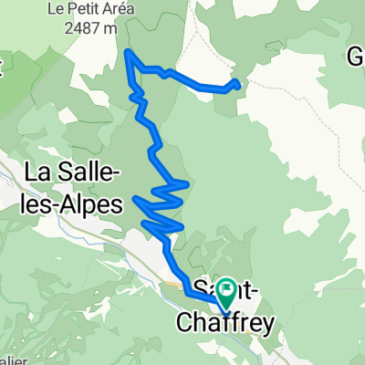
Etape 6c - Route grands Alpes
- 6.4 km
- 22 m
- 171 m
- Saint-Chaffrey, Provence-Alpes-Côte d'Azur Region, France
A cycling route starting in Saint-Chaffrey, Provence-Alpes-Côte d'Azur Region, France.
Overview
created this 5 years ago
Route quality
Track
19.3 km
(30 %)
Quiet road
5.8 km
(9 %)
Paved
34.7 km
(54 %)
Unpaved
23.1 km
(36 %)
Asphalt
34.7 km
(54 %)
Gravel
11.6 km
(18 %)
Continue with Bikemap
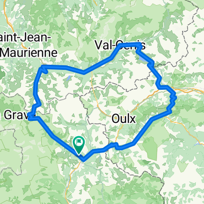
You would like to ride Cesana- Olux -Cesana or customize it for your own trip? Here is what you can do with this Bikemap route:
Free trial for 3 days, or one-time payment. More about Bikemap Premium.
Discover more Premium features.
Get Bikemap PremiumFrom our community
Open it in the app