

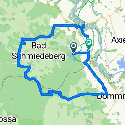
Kleindröben-Neuborna
A cycling route starting in Pretzsch, Saxony-Anhalt, Germany.
Overview
About this route
- -:--
- Duration
- 94.4 km
- Distance
- 124 m
- Ascent
- 132 m
- Descent
- ---
- Avg. speed
- ---
- Max. altitude
Route quality
Waytypes & surfaces along the route
Waytypes
Road
31.1 km
(33 %)
Path
21.7 km
(23 %)
Surfaces
Paved
67 km
(71 %)
Unpaved
9.4 km
(10 %)
Asphalt
63.2 km
(67 %)
Gravel
4.7 km
(5 %)
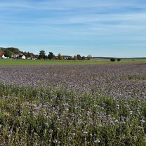
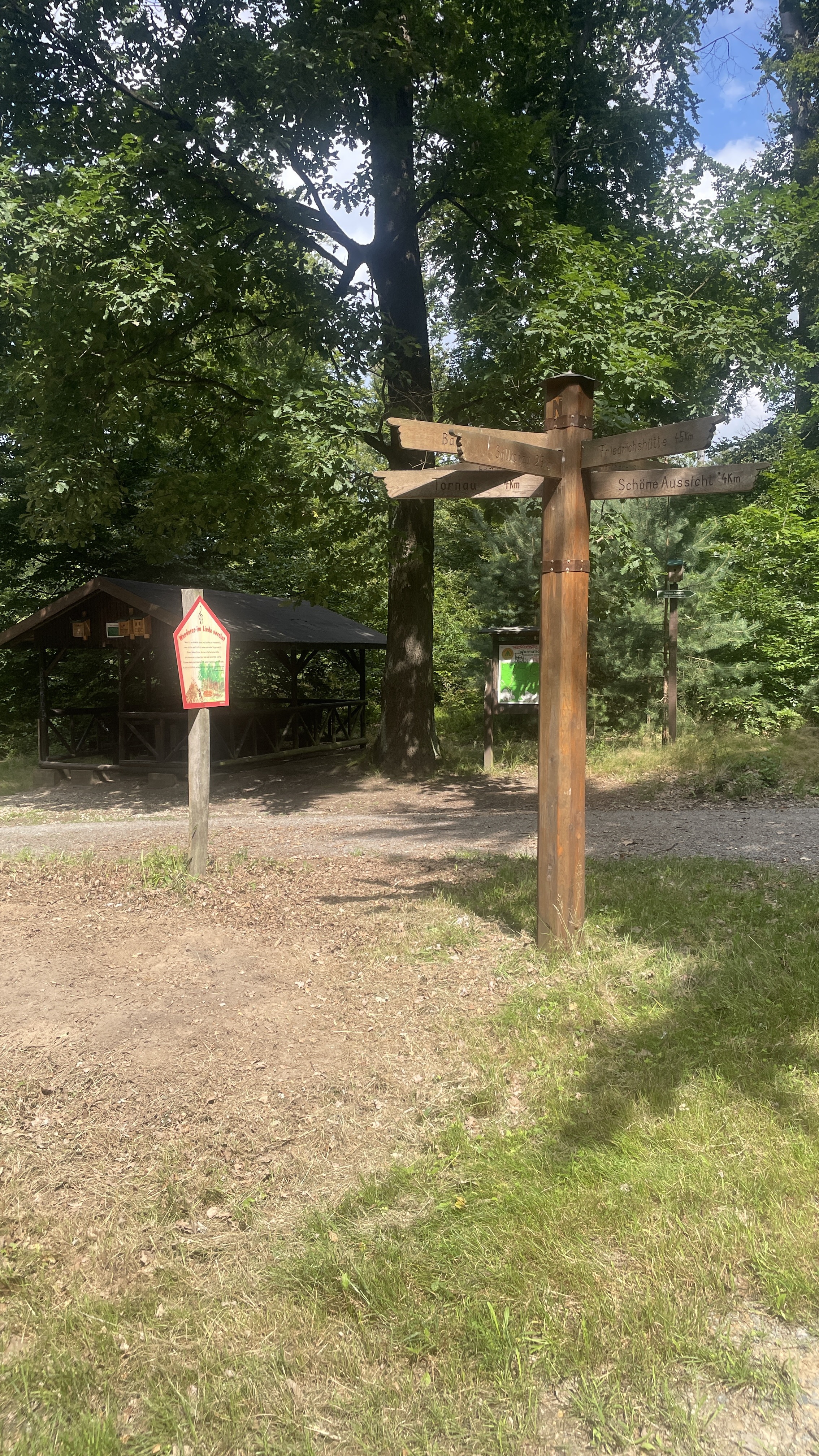
Route highlights
Points of interest along the route
Point of interest after 20.8 km
Continue with Bikemap
Use, edit, or download this cycling route
You would like to ride Kleindröben-Neuborna or customize it for your own trip? Here is what you can do with this Bikemap route:
Free features
- Save this route as favorite or in collections
- Copy & plan your own version of this route
- Split it into stages to create a multi-day tour
- Sync your route with Garmin or Wahoo
Premium features
Free trial for 3 days, or one-time payment. More about Bikemap Premium.
- Navigate this route on iOS & Android
- Export a GPX / KML file of this route
- Create your custom printout (try it for free)
- Download this route for offline navigation
Discover more Premium features.
Get Bikemap PremiumFrom our community
Other popular routes starting in Pretzsch
 Gärtnerweg 1B nach Gärtnerweg
- Distance
- 11.4 km
- Ascent
- 30 m
- Descent
- 77 m
- Location
- Pretzsch, Saxony-Anhalt, Germany
 Lausiger-Stausee Dahlenberg-Bad Schmiedeberg
- Distance
- 22.6 km
- Ascent
- 180 m
- Descent
- 167 m
- Location
- Pretzsch, Saxony-Anhalt, Germany
 Lausiger-Teich-Straße, Bad Schmiedeberg nach Lindenstraße, Bad Schmiedeberg
- Distance
- 37.5 km
- Ascent
- 135 m
- Descent
- 120 m
- Location
- Pretzsch, Saxony-Anhalt, Germany
 Kleindröben-Neuborna
- Distance
- 94.4 km
- Ascent
- 124 m
- Descent
- 132 m
- Location
- Pretzsch, Saxony-Anhalt, Germany
 Lausiger-Teich-Straße, Bad Schmiedeberg nach Lindenstraße, Bad Schmiedeberg
- Distance
- 43 km
- Ascent
- 133 m
- Descent
- 125 m
- Location
- Pretzsch, Saxony-Anhalt, Germany
 Trebitz - Laußiger Teiche - Söllichau - Trebitz
- Distance
- 49.1 km
- Ascent
- 450 m
- Descent
- 451 m
- Location
- Pretzsch, Saxony-Anhalt, Germany
 Lausiger-Teich-Straße, Bad Schmiedeberg nach Lausiger-Teich-Straße, Bad Schmiedeberg
- Distance
- 59.8 km
- Ascent
- 125 m
- Descent
- 129 m
- Location
- Pretzsch, Saxony-Anhalt, Germany
 Lausiger-Teich-Straße, Bad Schmiedeberg nach Lindenstraße, Bad Schmiedeberg
- Distance
- 41.5 km
- Ascent
- 245 m
- Descent
- 249 m
- Location
- Pretzsch, Saxony-Anhalt, Germany
Open it in the app