

Las Herrerías de Calvera-Monzón. Junio 2017
A cycling route starting in Bonansa, Aragon, Spain.
Overview
About this route
Las Herrerías de Calvera, Serraduy, La Puebla de Roda, Capella, Graus, Monzón.
- -:--
- Duration
- 85.1 km
- Distance
- 224 m
- Ascent
- 924 m
- Descent
- ---
- Avg. speed
- ---
- Max. altitude
Route quality
Waytypes & surfaces along the route
Waytypes
Cycleway
29.8 km
(35 %)
Quiet road
5.1 km
(6 %)
Surfaces
Paved
24.7 km
(29 %)
Unpaved
0.9 km
(1 %)
Asphalt
20.4 km
(24 %)
Paved (undefined)
4.3 km
(5 %)
Continue with Bikemap
Use, edit, or download this cycling route
You would like to ride Las Herrerías de Calvera-Monzón. Junio 2017 or customize it for your own trip? Here is what you can do with this Bikemap route:
Free features
- Save this route as favorite or in collections
- Copy & plan your own version of this route
- Split it into stages to create a multi-day tour
- Sync your route with Garmin or Wahoo
Premium features
Free trial for 3 days, or one-time payment. More about Bikemap Premium.
- Navigate this route on iOS & Android
- Export a GPX / KML file of this route
- Create your custom printout (try it for free)
- Download this route for offline navigation
Discover more Premium features.
Get Bikemap PremiumFrom our community
Other popular routes starting in Bonansa
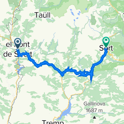
 El Pont de Suert - Jaca
- Distance
- 181.9 km
- Ascent
- 1,999 m
- Descent
- 2,031 m
- Location
- Bonansa, Aragon, Spain
 TRACK3
- Distance
- 74 km
- Ascent
- 1,083 m
- Descent
- 1,396 m
- Location
- Bonansa, Aragon, Spain
 de hostal canigo el pont de suert a can congost sort 19juin
- Distance
- 60 km
- Ascent
- 1,485 m
- Descent
- 1,637 m
- Location
- Bonansa, Aragon, Spain
 circular btt-monasterio de obarra
- Distance
- 51.3 km
- Ascent
- 1,116 m
- Descent
- 1,106 m
- Location
- Bonansa, Aragon, Spain
 El Pont de Suert - Pic del Maià
- Distance
- 183.7 km
- Ascent
- 4,283 m
- Descent
- 2,606 m
- Location
- Bonansa, Aragon, Spain
 Transpirenaica.Etapa9.Sentis-Senz
- Distance
- 58 km
- Ascent
- 1,635 m
- Descent
- 1,568 m
- Location
- Bonansa, Aragon, Spain
 El Pont de Suert - Tarragona
- Distance
- 207.9 km
- Ascent
- 1,990 m
- Descent
- 2,833 m
- Location
- Bonansa, Aragon, Spain
 Las Herrerías de Calvera-Monzón. Junio 2017
- Distance
- 85.1 km
- Ascent
- 224 m
- Descent
- 924 m
- Location
- Bonansa, Aragon, Spain
Open it in the app