Amélie les Bains-Ripoll. Marzo 2017
- 77.9 km
- 1,296 m
- 824 m
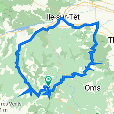
- Amélie-les-Bains, Occitanie, France
A cycling route starting in Amélie-les-Bains, Occitanie, France.
Overview
Amélie-les-Bains, Arles-sur-Tech, Prats-de-Molló-la-Preste, Col d'Ares, Molló, Camprodon, Ripoll
Route quality
Road
2.3 km
(3 %)
Quiet road
2.3 km
(3 %)
Paved
68.5 km
(88 %)
Asphalt
67 km
(86 %)
Paved (undefined)
0.8 km
(1 %)
Continue with Bikemap
You would like to ride Amélie les Bains-Ripoll. Marzo 2017 or customize it for your own trip? Here is what you can do with this Bikemap route:
Free trial for 3 days, or one-time payment. More about Bikemap Premium.
Discover more Premium features.
Get Bikemap PremiumFrom our community
Open it in the app