Easy ride in Esclavolles-Lurey
A cycling route starting in Romilly-sur-Seine, Grand Est, France.
Overview
About this route
- 33 min
- Duration
- 7.2 km
- Distance
- 18 m
- Ascent
- 16 m
- Descent
- 12.9 km/h
- Avg. speed
- ---
- Max. altitude
Route quality
Waytypes & surfaces along the route
Waytypes
Path
4.8 km
(67 %)
Quiet road
0.6 km
(9 %)
Undefined
1.7 km
(24 %)
Surfaces
Paved
6.4 km
(89 %)
Asphalt
6.4 km
(89 %)
Undefined
0.8 km
(11 %)
Continue with Bikemap
Use, edit, or download this cycling route
You would like to ride Easy ride in Esclavolles-Lurey or customize it for your own trip? Here is what you can do with this Bikemap route:
Free features
- Save this route as favorite or in collections
- Copy & plan your own version of this route
- Sync your route with Garmin or Wahoo
Premium features
Free trial for 3 days, or one-time payment. More about Bikemap Premium.
- Navigate this route on iOS & Android
- Export a GPX / KML file of this route
- Create your custom printout (try it for free)
- Download this route for offline navigation
Discover more Premium features.
Get Bikemap PremiumFrom our community
Other popular routes starting in Romilly-sur-Seine
- De 18 Rue Jules Mirand, Gélannes à 1 Rue des Tilleuls, Allemanche-Launay-et-Soyer
- Distance
- 28.5 km
- Ascent
- 86 m
- Descent
- 86 m
- Location
- Romilly-sur-Seine, Grand Est, France
- FR3P 3 Montag: Romily-sur-Seine - PARIS
- Distance
- 137.5 km
- Ascent
- 696 m
- Descent
- 712 m
- Location
- Romilly-sur-Seine, Grand Est, France
- D6 Esclavo-Ecoublay
- Distance
- 74.8 km
- Ascent
- 462 m
- Descent
- 370 m
- Location
- Romilly-sur-Seine, Grand Est, France
- Romilly / Sud Ouest marnais
- Distance
- 21.2 km
- Ascent
- 29 m
- Descent
- 28 m
- Location
- Romilly-sur-Seine, Grand Est, France
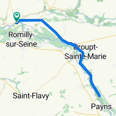
- france 2009-10 romilly sur seine-provins
- Distance
- 40.3 km
- Ascent
- 145 m
- Descent
- 128 m
- Location
- Romilly-sur-Seine, Grand Est, France
- circuit des lacs grand est - 3 à 4 jours
- Distance
- 250.8 km
- Ascent
- 1,050 m
- Descent
- 801 m
- Location
- Romilly-sur-Seine, Grand Est, France
- Aadorf - Paris 9. Tag Saint-Hilaire-sous-Romilly - Veneux-les-Sablons
- Distance
- 75 km
- Ascent
- 112 m
- Descent
- 126 m
- Location
- Romilly-sur-Seine, Grand Est, France
- Day 1 : Romilly --> Longeau; le baptême
- Distance
- 209.6 km
- Ascent
- 626 m
- Descent
- 383 m
- Location
- Romilly-sur-Seine, Grand Est, France
Open it in the app