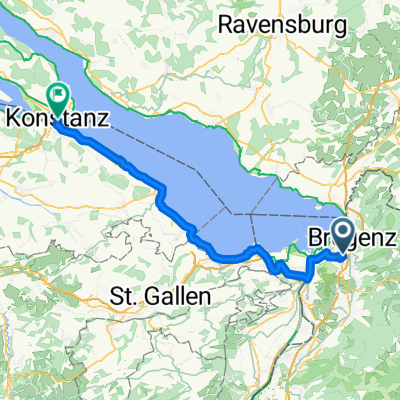
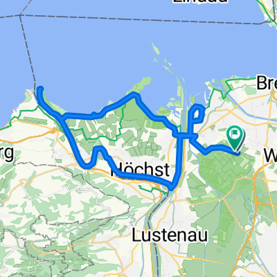
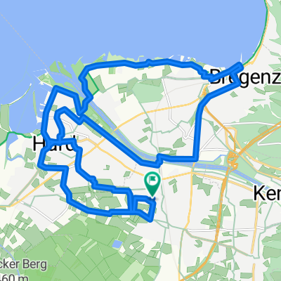
2. Teil Bodensee-Umrundung
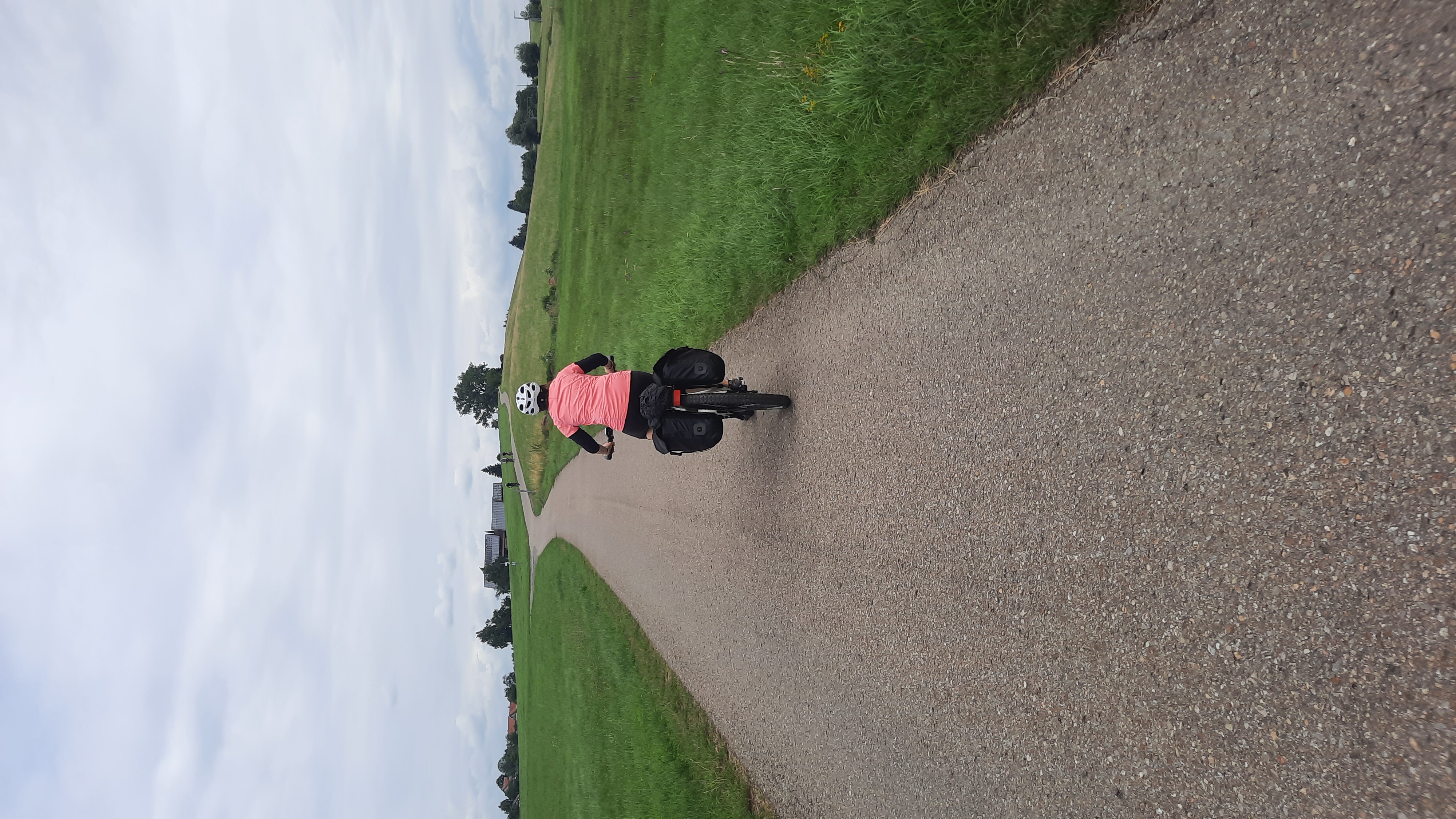
A cycling route starting in Lauterach, Vorarlberg, Austria.
Overview
About this route
von der Rheinbrücke kurz vor Bregenz bis zur Ziegelei kurz vor Immenstaad
- -:--
- Duration
- 43.2 km
- Distance
- 68 m
- Ascent
- 72 m
- Descent
- ---
- Avg. speed
- 421 m
- Avg. speed
Route quality
Waytypes & surfaces along the route
Waytypes
Quiet road
17.3 km
(40 %)
Path
9.4 km
(22 %)
Surfaces
Paved
36 km
(83 %)
Unpaved
3.9 km
(9 %)
Asphalt
35.3 km
(82 %)
Gravel
2.8 km
(7 %)
Continue with Bikemap
Use, edit, or download this cycling route
You would like to ride 2. Teil Bodensee-Umrundung or customize it for your own trip? Here is what you can do with this Bikemap route:
Free features
- Save this route as favorite or in collections
- Copy & plan your own version of this route
- Sync your route with Garmin or Wahoo
Premium features
Free trial for 3 days, or one-time payment. More about Bikemap Premium.
- Navigate this route on iOS & Android
- Export a GPX / KML file of this route
- Create your custom printout (try it for free)
- Download this route for offline navigation
Discover more Premium features.
Get Bikemap PremiumFrom our community
Other popular routes starting in Lauterach
- Bregenz-Fluh-Hirschberg-Eichenberg-Bregenz
- Distance
- 28.2 km
- Ascent
- 682 m
- Descent
- 682 m
- Location
- Lauterach, Vorarlberg, Austria
- Tour 5 Zusammen Zukunft – Soziale
- Distance
- 12.8 km
- Ascent
- 121 m
- Descent
- 122 m
- Location
- Lauterach, Vorarlberg, Austria
- Reutegasse 19A, Bregenz - Reutegasse 19C, Bregenz
- Distance
- 21.8 km
- Ascent
- 49 m
- Descent
- 46 m
- Location
- Lauterach, Vorarlberg, Austria
- 2. Teil Bodensee-Umrundung
- Distance
- 43.2 km
- Ascent
- 68 m
- Descent
- 72 m
- Location
- Lauterach, Vorarlberg, Austria
- Jannersee
- Distance
- 18.5 km
- Ascent
- 28 m
- Descent
- 12 m
- Location
- Lauterach, Vorarlberg, Austria
- Schweiz_Tour_09.-15.06.12
- Distance
- 721.2 km
- Ascent
- 7,096 m
- Descent
- 7,096 m
- Location
- Lauterach, Vorarlberg, Austria
- Bregenz -Lochau-Pfänder-Fluh- Rundstrecke
- Distance
- 24.4 km
- Ascent
- 635 m
- Descent
- 643 m
- Location
- Lauterach, Vorarlberg, Austria
- Hochälpelekopf
- Distance
- 39.7 km
- Ascent
- 1,149 m
- Descent
- 1,149 m
- Location
- Lauterach, Vorarlberg, Austria