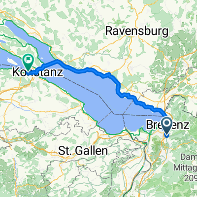
Sonnenterasse
A cycling route starting in Wolfurt, Vorarlberg, Austria.
Overview
About this route
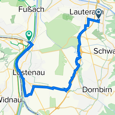
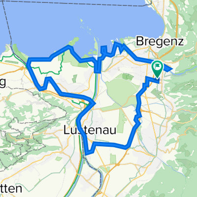
Steinebach - Watzenegg - Heilenberg - Haselstauderberg - Alberschwende - Buggenegg
- -:--
 - Duration
 - 32.1 km
 - Distance
 - 767 m
 - Ascent
 - 766 m
 - Descent
 - ---
 - Avg. speed
 - 940 m
 - Max. altitude
 
Route quality
Waytypes & surfaces along the route
Waytypes
Quiet road
18.6 km
(58 %)
Road
4.2 km
(13 %)
Surfaces
Paved
27.3 km
(85 %)
Unpaved
4.2 km
(13 %)
Asphalt
27 km
(84 %)
Gravel
3.5 km
(11 %)
Continue with Bikemap
Use, edit, or download this cycling route
You would like to ride Sonnenterasse or customize it for your own trip? Here is what you can do with this Bikemap route:
Free features
- Save this route as favorite or in collections
 - Copy & plan your own version of this route
 - Sync your route with Garmin or Wahoo
 
Premium features
Free trial for 3 days, or one-time payment. More about Bikemap Premium.
- Navigate this route on iOS & Android
 - Export a GPX / KML file of this route
 - Create your custom printout (try it for free)
 - Download this route for offline navigation
 
Discover more Premium features.
Get Bikemap PremiumFrom our community
Other popular routes starting in Wolfurt
Wolfurt-Buch-Bergrennen- Distance
 - 6.8 km
 - Ascent
 - 419 m
 - Descent
 - 115 m
 - Location
 - Wolfurt, Vorarlberg, Austria
 
Feierabendrunde 2- Distance
 - 63.5 km
 - Ascent
 - 844 m
 - Descent
 - 829 m
 - Location
 - Wolfurt, Vorarlberg, Austria
 
Wolfurt-Dornbirn-Lustenau-Höchst-Gaißau-Rohrspitz-Jannersee-Wolfurt- Distance
 - 45.5 km
 - Ascent
 - 110 m
 - Descent
 - 110 m
 - Location
 - Wolfurt, Vorarlberg, Austria
 
Lauterach-Dornbirn-Ammenegg-Bödele-Brüggelekopf-Alberschwende-Lauterach- Distance
 - 37.1 km
 - Ascent
 - 1,056 m
 - Descent
 - 1,054 m
 - Location
 - Wolfurt, Vorarlberg, Austria
 
Ab ans Meer- Distance
 - 1,128.5 km
 - Ascent
 - 7,008 m
 - Descent
 - 7,006 m
 - Location
 - Wolfurt, Vorarlberg, Austria
 
Wolfurt-Buch-Bildstein- Distance
 - 20.8 km
 - Ascent
 - 642 m
 - Descent
 - 643 m
 - Location
 - Wolfurt, Vorarlberg, Austria
 
Lauterach-Buch-Schneiderkopf-Bildstein-Lauterach- Distance
 - 22.8 km
 - Ascent
 - 565 m
 - Descent
 - 565 m
 - Location
 - Wolfurt, Vorarlberg, Austria
 
Sonnenterasse- Distance
 - 32.1 km
 - Ascent
 - 767 m
 - Descent
 - 766 m
 - Location
 - Wolfurt, Vorarlberg, Austria
 
Open it in the app


