Um den See und auf den Kogel
- 49.8 km
- 721 m
- 681 m
- Maria Wörth, Carinthia, Austria
A cycling route starting in Maria Wörth, Carinthia, Austria.
Overview
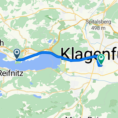
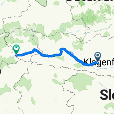
Starting from Pörtschach, the route heads towards Moosburg. Already at the first climb after the motorway underpass, you turn left into the forest, where the first (small) steep climbs await the biker. Near Trieblach, you join the marked mountain bike trail, which you leave shortly after St. Martin am Techelsberg and continue on asphalt to Töpriach, where shortly afterwards the climb on a forest road to hohen Gallin begins. Upon reaching the summit cross (1046m), you should enjoy the beautiful view of Lake Wörthersee extending beyond Klagenfurt. After a refreshment and signing the summit book, the descent is rapid, continuing via St. Bartlmä to Bärndorf. Upon reaching the golf course, head down to Stallhofen, then left towards Moosburg, and at the village edge turn right towards Kreggab. Follow the signs to Sallach, climbing again the 'hohen Geißrücken' just before. Just before leaving the forest, fresh water from the Katharinenquelle spring is available. Refreshed, return to the starting point at Pörtschach.
Participants: Lassi, Herbert, Hans, and Richard
created this 15 years ago
Continue with Bikemap
You would like to ride Auf den hohen Gallin CLONED FROM ROUTE 286466 or customize it for your own trip? Here is what you can do with this Bikemap route:
Free trial for 3 days, or one-time payment. More about Bikemap Premium.
Discover more Premium features.
Get Bikemap PremiumFrom our community
Open it in the app