

Dreiländereck light
A cycling route starting in Mettlach, Saarland, Germany.
Overview
About this route
optically beautiful route
Germany:
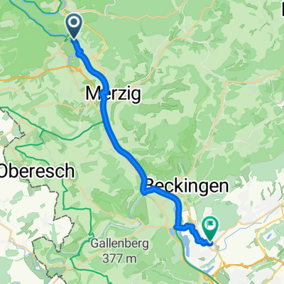
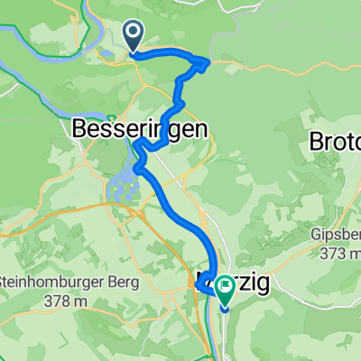
in Saargau via Viezstraße. Beautiful route along the orchards with a view over the Merzig basin. Just before Büschdorf, enter 'Steine an der Grenze'. (Paved field path in a right curve, no signage)
France: nice descent through typical villages of Lorraine with a view of Chateau Malbrouck.
Luxembourg: from Schengen to Remich through Luxembourg’s wine-growing area along the Moselle. Steep vineyards and forests surround the area around Remich.
- -:--
- Duration
- 68.1 km
- Distance
- 644 m
- Ascent
- 644 m
- Descent
- ---
- Avg. speed
- ---
- Max. altitude

Continue with Bikemap
Use, edit, or download this cycling route
You would like to ride Dreiländereck light or customize it for your own trip? Here is what you can do with this Bikemap route:
Free features
- Save this route as favorite or in collections
- Copy & plan your own version of this route
- Sync your route with Garmin or Wahoo
Premium features
Free trial for 3 days, or one-time payment. More about Bikemap Premium.
- Navigate this route on iOS & Android
- Export a GPX / KML file of this route
- Create your custom printout (try it for free)
- Download this route for offline navigation
Discover more Premium features.
Get Bikemap PremiumFrom our community
Other popular routes starting in Mettlach
 Dreiländereck light
- Distance
- 68.1 km
- Ascent
- 644 m
- Descent
- 644 m
- Location
- Mettlach, Saarland, Germany
 Route zu Eiscafe Trentino
- Distance
- 20.5 km
- Ascent
- 103 m
- Descent
- 88 m
- Location
- Mettlach, Saarland, Germany
 Britter Straße, Меттлах nach Мерціг
- Distance
- 12 km
- Ascent
- 166 m
- Descent
- 172 m
- Location
- Mettlach, Saarland, Germany
 letsgoo
- Distance
- 41.8 km
- Ascent
- 513 m
- Descent
- 563 m
- Location
- Mettlach, Saarland, Germany
 FR1-3b_Mettlach - Perl_72,6km 290hm
- Distance
- 72.4 km
- Ascent
- 781 m
- Descent
- 824 m
- Location
- Mettlach, Saarland, Germany
 Saar- , Mosel-Radweg 2013
- Distance
- 385.2 km
- Ascent
- 141 m
- Descent
- 262 m
- Location
- Mettlach, Saarland, Germany
 Saar - Mosel - Tour
- Distance
- 203.5 km
- Ascent
- 239 m
- Descent
- 321 m
- Location
- Mettlach, Saarland, Germany
 Bahnhofstraße, Mettlach nach Linterstraße 3, Mehring
- Distance
- 63.6 km
- Ascent
- 836 m
- Descent
- 865 m
- Location
- Mettlach, Saarland, Germany
Open it in the app