

Pontarme 100 Ouest
A cycling route starting in Thiers-sur-Thève, Hauts-de-France, France.
Overview
About this route
- -:--
- Duration
- 107.6 km
- Distance
- 537 m
- Ascent
- 538 m
- Descent
- ---
- Avg. speed
- ---
- Max. altitude

Route quality
Waytypes & surfaces along the route
Waytypes
Quiet road
50.6 km
(47 %)
Road
25.8 km
(24 %)
Surfaces
Paved
43 km
(40 %)
Unpaved
2.2 km
(2 %)
Asphalt
39.8 km
(37 %)
Concrete
2.2 km
(2 %)
Continue with Bikemap
Use, edit, or download this cycling route
You would like to ride Pontarme 100 Ouest or customize it for your own trip? Here is what you can do with this Bikemap route:
Free features
- Save this route as favorite or in collections
- Copy & plan your own version of this route
- Split it into stages to create a multi-day tour
- Sync your route with Garmin or Wahoo
Premium features
Free trial for 3 days, or one-time payment. More about Bikemap Premium.
- Navigate this route on iOS & Android
- Export a GPX / KML file of this route
- Create your custom printout (try it for free)
- Download this route for offline navigation
Discover more Premium features.
Get Bikemap PremiumFrom our community
Other popular routes starting in Thiers-sur-Thève
 pontarme ermenonville 36 km
- Distance
- 36.1 km
- Ascent
- 0 m
- Descent
- 0 m
- Location
- Thiers-sur-Thève, Hauts-de-France, France
 De 39 Chemin de l'Hôtel-Dieu, Pontarmé à 34 Chemin de l'Hôtel-Dieu, Pontarmé
- Distance
- 19.4 km
- Ascent
- 34 m
- Descent
- 33 m
- Location
- Thiers-sur-Thève, Hauts-de-France, France
 Pontarme 100 Ouest
- Distance
- 107.6 km
- Ascent
- 537 m
- Descent
- 538 m
- Location
- Thiers-sur-Thève, Hauts-de-France, France
 Itinéraire vers 1 La Maison Blanche, Fontaine-Chaalis
- Distance
- 17 km
- Ascent
- 453 m
- Descent
- 484 m
- Location
- Thiers-sur-Thève, Hauts-de-France, France
 Itinéraire vers 1–13 Allée de la Ferme, Plailly
- Distance
- 8.5 km
- Ascent
- 169 m
- Descent
- 135 m
- Location
- Thiers-sur-Thève, Hauts-de-France, France
 17 Rue de la Fontaine Sainte-Geneviève, Thiers-sur-Thève à 17 Rue de la Fontaine Sainte-Geneviève, Thiers-sur-Thève
- Distance
- 19.1 km
- Ascent
- 94 m
- Descent
- 95 m
- Location
- Thiers-sur-Thève, Hauts-de-France, France
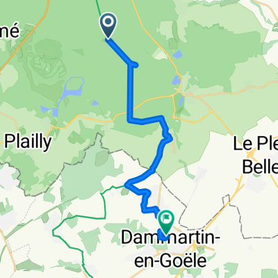 Depuis le déj jusqu'à Dammartin-en-Goële
- Distance
- 17.4 km
- Ascent
- 116 m
- Descent
- 133 m
- Location
- Thiers-sur-Thève, Hauts-de-France, France
 Parc Asterix - Paris
- Distance
- 102.7 km
- Ascent
- 419 m
- Descent
- 450 m
- Location
- Thiers-sur-Thève, Hauts-de-France, France
Open it in the app