

ALCC Long Route Otley-Ilkley
A cycling route starting in Otley, England, United Kingdom.
Overview
About this route
ALCC Long Route
- -:--
- Duration
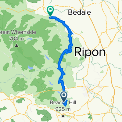
- 38.9 km
- Distance
- 290 m
- Ascent
- 289 m
- Descent
- ---
- Avg. speed
- ---
- Max. altitude
Continue with Bikemap
Use, edit, or download this cycling route
You would like to ride ALCC Long Route Otley-Ilkley or customize it for your own trip? Here is what you can do with this Bikemap route:
Free features
- Save this route as favorite or in collections
- Copy & plan your own version of this route
- Sync your route with Garmin or Wahoo
Premium features
Free trial for 3 days, or one-time payment. More about Bikemap Premium.
- Navigate this route on iOS & Android
- Export a GPX / KML file of this route
- Create your custom printout (try it for free)
- Download this route for offline navigation
Discover more Premium features.
Get Bikemap PremiumFrom our community
Other popular routes starting in Otley
 Brimham Rocks
- Distance
- 54.5 km
- Ascent
- 902 m
- Descent
- 902 m
- Location
- Otley, England, United Kingdom
 50km from Otley
- Distance
- 50.9 km
- Ascent
- 603 m
- Descent
- 699 m
- Location
- Otley, England, United Kingdom
 Quick evening ride - Chevin
- Distance
- 17 km
- Ascent
- 294 m
- Descent
- 281 m
- Location
- Otley, England, United Kingdom
 Wensleydale Weekend
- Distance
- 57.3 km
- Ascent
- 785 m
- Descent
- 782 m
- Location
- Otley, England, United Kingdom
 Farnley - Otley - Ilkley
- Distance
- 52.7 km
- Ascent
- 737 m
- Descent
- 737 m
- Location
- Otley, England, United Kingdom
 The Crescent 16 to Athelstan Lane 31
- Distance
- 31.6 km
- Ascent
- 518 m
- Descent
- 518 m
- Location
- Otley, England, United Kingdom
 Chevin loop
- Distance
- 11.2 km
- Ascent
- 236 m
- Descent
- 233 m
- Location
- Otley, England, United Kingdom
 Otley to pateley bridge and back
- Distance
- 51.7 km
- Ascent
- 868 m
- Descent
- 739 m
- Location
- Otley, England, United Kingdom
Open it in the app