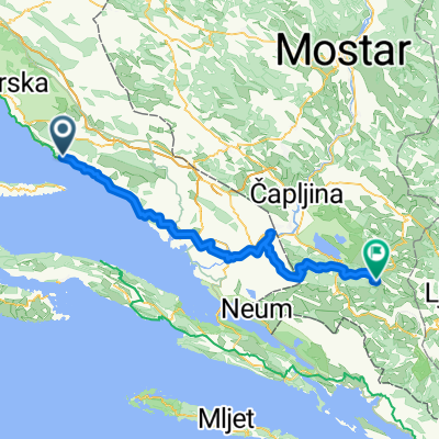
Deset uvala 701 - Bogomolje - Gdinj - Gdinjske vale - Bogomoljske vale - Bogomolje on GPSies.com

A cycling route starting in Tučepi, Split-Dalmatia County, Croatia.
OverviewAbout this route
  1. DESET UVALA - HR The circular track is located on the eastern part of the island, running along the ridge from east to west, then descending towards the southern coast. The track starts in the village of Bogomolje and passes through it heading north, turning from the tarmac road onto an off-road path through olive groves. Continuing west with a gentle ascent (from 220 m to 350 m), the track joins the state road D-116 towards Gdinj. Upon reaching Gdinj, the tarmac road steeply descends through switchbacks (350 m to 10 m) towards the southern bays of Gdinj and Bogomolja. The track then continues on off-road paths through the bays, before steeply climbing again to finish in the village of Bogomolje. The track is a combination of tarmac and off-road paths, with a total length of 19.8 km.
Translated, show original (Spanish)
-:--
Duration
19.9 km
Distance
511 m
Ascent
513 m
Descent
---
Avg. speed
---
Max. altitude
Domagoj Pernarcreated this 5 years ago
Continue with BikemapUse, edit, or download this cycling route
You would like to ride Deset uvala 701 - Bogomolje - Gdinj - Gdinjske vale - Bogomoljske vale - Bogomolje on GPSies.com or customize it for your own trip? Here is what you can do with this Bikemap route:
Free features
Premium features

Free trial for 3 days, or one-time payment. More about Bikemap Premium.

  • Navigate this route on iOS & Android
  • Export a GPX / KML file of this route
  • Create your custom printout (try it for free)
  • Download this route for offline navigation

Discover more Premium features.

Get Bikemap Premium
From our communityOther popular routes starting in Tučepi

Open it in the app