

PMC Final 8-1-2020
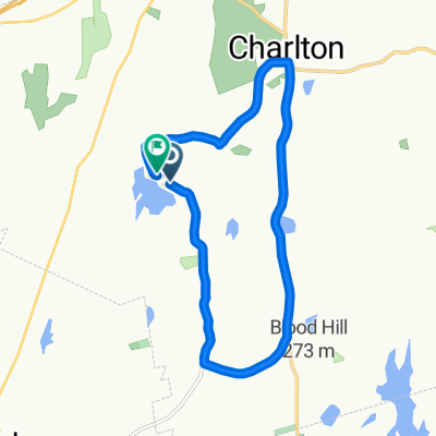
A cycling route starting in Charlton, Massachusetts, United States.
Overview
About this route
- -:--
- Duration
- 176.1 km
- Distance
- 637 m
- Ascent
- 630 m
- Descent
- ---
- Avg. speed
- ---
- Max. altitude
Route quality
Waytypes & surfaces along the route
Waytypes
Busy road
105.1 km
(60 %)
Quiet road
30.8 km
(17 %)
Surfaces
Paved
88.8 km
(50 %)
Unpaved
1.4 km
(<1 %)
Asphalt
79 km
(45 %)
Paved (undefined)
9.7 km
(6 %)
Route highlights
Points of interest along the route
Drinking water after 31.8 km
Drinking water after 57 km
Globe Park Elementary School
Drinking water after 76.6 km
401 Putnam Pike Putnam CT Harmony Market ish Under construction
Drinking water after 98.8 km
599 Providence rd Putnam CT Rest area
Drinking water after 126.9 km
Dollar General 230 Eastford Rd Eastford Ct
Drinking water after 148 km
Drinking water after 148.9 km
Drinking water after 165.1 km
Continue with Bikemap
Use, edit, or download this cycling route
You would like to ride PMC Final 8-1-2020 or customize it for your own trip? Here is what you can do with this Bikemap route:
Free features
- Save this route as favorite or in collections
- Copy & plan your own version of this route
- Split it into stages to create a multi-day tour
- Sync your route with Garmin or Wahoo
Premium features
Free trial for 3 days, or one-time payment. More about Bikemap Premium.
- Navigate this route on iOS & Android
- Export a GPX / KML file of this route
- Create your custom printout (try it for free)
- Download this route for offline navigation
Discover more Premium features.
Get Bikemap PremiumFrom our community
Other popular routes starting in Charlton
 20 Freighthouse Rd, Charlton to 20 Freighthouse Rd, Charlton
- Distance
- 8.3 km
- Ascent
- 157 m
- Descent
- 159 m
- Location
- Charlton, Massachusetts, United States
 PMC Final 8-1-2020
- Distance
- 176.1 km
- Ascent
- 637 m
- Descent
- 630 m
- Location
- Charlton, Massachusetts, United States
 maiden2
- Distance
- 18.5 km
- Ascent
- 293 m
- Descent
- 297 m
- Location
- Charlton, Massachusetts, United States
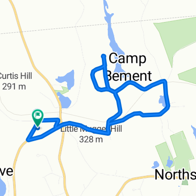
 Prindle Hill Rd, Charlton to Prindle Hill Rd, Charlton
- Distance
- 13.8 km
- Ascent
- 267 m
- Descent
- 265 m
- Location
- Charlton, Massachusetts, United States
 tryit1
- Distance
- 22.9 km
- Ascent
- 372 m
- Descent
- 373 m
- Location
- Charlton, Massachusetts, United States
 Friday
- Distance
- 23 km
- Ascent
- 362 m
- Descent
- 370 m
- Location
- Charlton, Massachusetts, United States
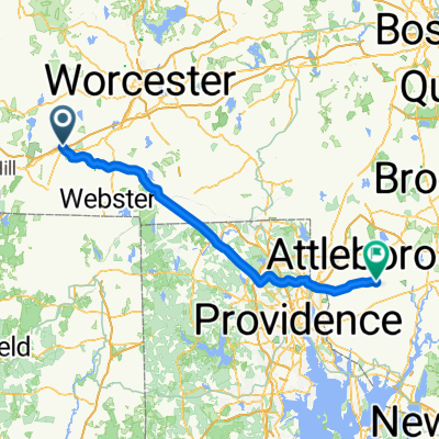 31–41 Brookfield Rd, Charlton to 8–10 Anawan St, Rehoboth
- Distance
- 80.4 km
- Ascent
- 967 m
- Descent
- 1,162 m
- Location
- Charlton, Massachusetts, United States
 26 N Sullivan Rd, Charlton to Waterford
- Distance
- 592.7 km
- Ascent
- 8,281 m
- Descent
- 8,282 m
- Location
- Charlton, Massachusetts, United States
Open it in the app