Hinterweidenthal über Frankreich zum deutschen St. Germanshof
- 54.2 km
- 828 m
- 826 m
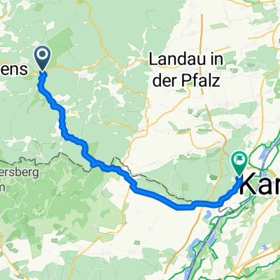
- Hinterweidenthal, Rhineland-Palatinate, Germany
A cycling route starting in Hinterweidenthal, Rhineland-Palatinate, Germany.
Overview
Rohrwoog near Hinterweidenthal - Dahner Hütte - Moosbachtal - Rote Hohl - Ludwigswinkel - Bremendell - La Hardt - Sturzelbronn - Etang d' Hanau
created this 18 years ago
Route quality
Track
16 km
42 %
Quiet road
12.2 km
32 %
Paved
33.6 km
(88 %)
Unpaved
3.1 km
(8 %)
Asphalt
31.3 km
82 %
Paved (undefined)
2.3 km
6 %
Continue with Bikemap
You would like to ride Weiher (D) zu Weiher (F) or customize it for your own trip? Here is what you can do with this Bikemap route:
Free trial for 3 days, or one-time payment. More about Bikemap Premium.
Discover more Premium features.
Get Bikemap PremiumFrom our community
Open it in the app