

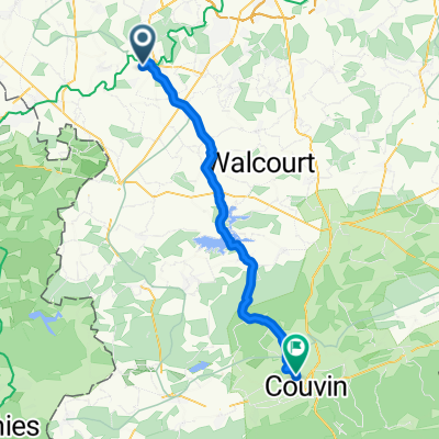
Août 2020 - Roadtrip Thuin-Dinant-Maredsous-Thuin
A cycling route starting in Thuin, Wallonia, Belgium.
Overview
About this route
- -:--
- Duration
- 163.4 km
- Distance
- 554 m
- Ascent
- 554 m
- Descent
- ---
- Avg. speed
- ---
- Max. altitude

Route quality
Waytypes & surfaces along the route
Waytypes
Cycleway
58.8 km
(36 %)
Quiet road
47.4 km
(29 %)
Surfaces
Paved
76.8 km
(47 %)
Unpaved
1.6 km
(1 %)
Asphalt
75.2 km
(46 %)
Paved (undefined)
1.6 km
(1 %)
Route highlights
Points of interest along the route
Point of interest after 23.8 km
Chez Lydie
Point of interest after 87.5 km
Chateau de Freyr
Point of interest after 90.3 km
Dinant Evasion
Point of interest after 91.7 km
Rocher Bayard
Point of interest after 94.3 km
Abbaye Notre-Dame de Leffe
Point of interest after 95.2 km
Chateau-fort de Crève-coeur
Point of interest after 106.6 km
Chateau fort de Montaigle
Point of interest after 106.9 km
Chez Hafli
Point of interest after 108.2 km
Chateau-ferme de Falaën
Point of interest after 111 km
Maredsous et le Centre d'Accueil St Antoine
Point of interest after 112.3 km
Abbaye de Maredret
Point of interest after 113 km
Ferme apicole des neuf bonniers
Point of interest after 138.2 km
Chez Maman et Papa
Continue with Bikemap
Use, edit, or download this cycling route
You would like to ride Août 2020 - Roadtrip Thuin-Dinant-Maredsous-Thuin or customize it for your own trip? Here is what you can do with this Bikemap route:
Free features
- Save this route as favorite or in collections
- Copy & plan your own version of this route
- Split it into stages to create a multi-day tour
- Sync your route with Garmin or Wahoo
Premium features
Free trial for 3 days, or one-time payment. More about Bikemap Premium.
- Navigate this route on iOS & Android
- Export a GPX / KML file of this route
- Create your custom printout (try it for free)
- Download this route for offline navigation
Discover more Premium features.
Get Bikemap PremiumFrom our community
Other popular routes starting in Thuin
 2019 Belgique optie dag 4
- Distance
- 78.6 km
- Ascent
- 530 m
- Descent
- 530 m
- Location
- Thuin, Wallonia, Belgium
 Ragnies- Parcours d'exploration au coeur de la Thudinie
- Distance
- 34.6 km
- Ascent
- 177 m
- Descent
- 179 m
- Location
- Thuin, Wallonia, Belgium
 Long Dimanche Course In Ham-Sur-Heure-Nalinnes
- Distance
- 17.7 km
- Ascent
- 374 m
- Descent
- 381 m
- Location
- Thuin, Wallonia, Belgium
 Landelies - Hourpes - Abbaye d'Aulne - MLT
- Distance
- 31.1 km
- Ascent
- 382 m
- Descent
- 383 m
- Location
- Thuin, Wallonia, Belgium
 VTT Sept pêchés capitaux - Thuin
- Distance
- 79.3 km
- Ascent
- 1,364 m
- Descent
- 1,366 m
- Location
- Thuin, Wallonia, Belgium
 Plan bis
- Distance
- 41.7 km
- Ascent
- 370 m
- Descent
- 335 m
- Location
- Thuin, Wallonia, Belgium
 ADA 8km
- Distance
- 8 km
- Ascent
- 194 m
- Descent
- 197 m
- Location
- Thuin, Wallonia, Belgium
 Août 2020 - Roadtrip Thuin-Dinant-Maredsous-Thuin
- Distance
- 163.4 km
- Ascent
- 554 m
- Descent
- 554 m
- Location
- Thuin, Wallonia, Belgium
Open it in the app