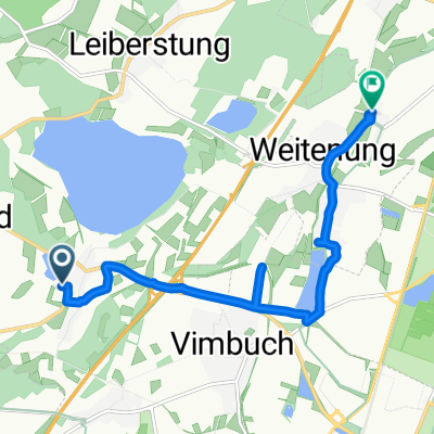
BH2HS_1.ET
A cycling route starting in Ottenhofen, Baden-Württemberg, Germany.
Overview
About this route
- 6 h 36 min
- Duration
- 106.6 km
- Distance
- 676 m
- Ascent
- 392 m
- Descent
- 16.1 km/h
- Avg. speed
- ---
- Avg. speed
Route quality
Waytypes & surfaces along the route
Waytypes
Quiet road
28.6 km
(27 %)
Track
24.1 km
(23 %)
Surfaces
Paved
97.2 km
(91 %)
Unpaved
4.9 km
(5 %)
Asphalt
87.6 km
(82 %)
Paved (undefined)
7.8 km
(7 %)
Continue with Bikemap
Use, edit, or download this cycling route
You would like to ride BH2HS_1.ET or customize it for your own trip? Here is what you can do with this Bikemap route:
Free features
- Save this route as favorite or in collections
- Copy & plan your own version of this route
- Sync your route with Garmin or Wahoo
Premium features
Free trial for 3 days, or one-time payment. More about Bikemap Premium.
- Navigate this route on iOS & Android
- Export a GPX / KML file of this route
- Create your custom printout (try it for free)
- Download this route for offline navigation
Discover more Premium features.
Get Bikemap PremiumFrom our community
Other popular routes starting in Ottenhofen
- Day 55-2
- Distance
- 1.5 km
- Ascent
- 0 m
- Descent
- 10 m
- Location
- Ottenhofen, Baden-Württemberg, Germany
- 20080429, Ortenauer Radweg nach Süden - durch die Weinberge retour nach Norden
- Distance
- 94.7 km
- Ascent
- 835 m
- Descent
- 768 m
- Location
- Ottenhofen, Baden-Württemberg, Germany
- Yburg 26km
- Distance
- 25.9 km
- Ascent
- 648 m
- Descent
- 648 m
- Location
- Ottenhofen, Baden-Württemberg, Germany
- Route mittel
- Distance
- 29.2 km
- Ascent
- 71 m
- Descent
- 71 m
- Location
- Ottenhofen, Baden-Württemberg, Germany
- BH2HS_1.ET
- Distance
- 106.6 km
- Ascent
- 676 m
- Descent
- 392 m
- Location
- Ottenhofen, Baden-Württemberg, Germany
- Badener Höhe
- Distance
- 35.2 km
- Ascent
- 1,537 m
- Descent
- 1,419 m
- Location
- Ottenhofen, Baden-Württemberg, Germany
- YBurg-Lichtental-Baden-Baden-Runde
- Distance
- 38.9 km
- Ascent
- 460 m
- Descent
- 460 m
- Location
- Ottenhofen, Baden-Württemberg, Germany
- Da Mauerbergstraße 40, Baden-Baden a Yburg Burgruine 1, Baden-Baden
- Distance
- 4.7 km
- Ascent
- 342 m
- Descent
- 28 m
- Location
- Ottenhofen, Baden-Württemberg, Germany
Open it in the app