

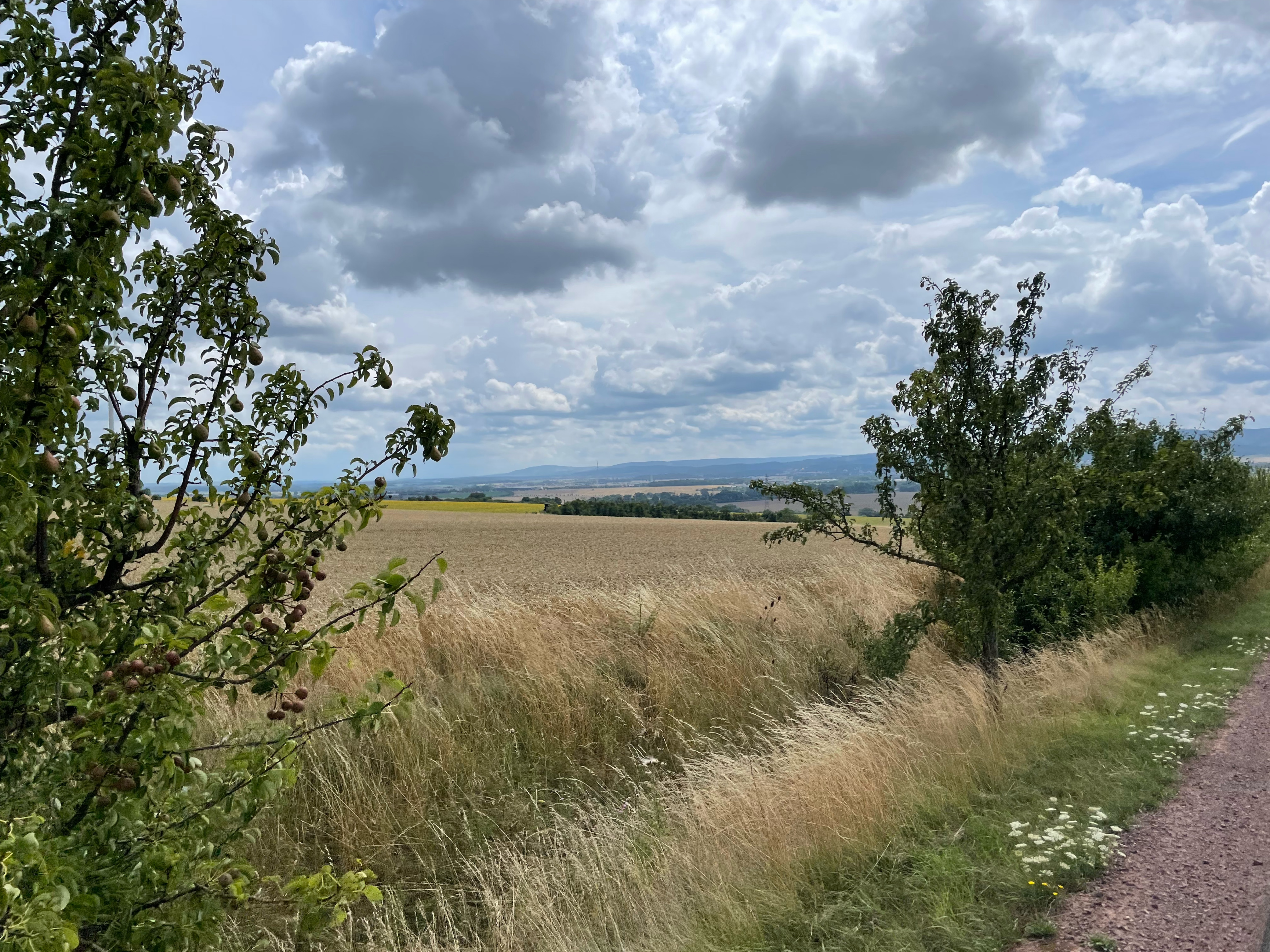
Rund um Gotha (Süd-West)
A cycling route starting in Gotha, Thuringia, Germany.
Overview
About this route
calm route with some mountains and many flat sections
- -:--
- Duration
- 29.4 km
- Distance
- 189 m
- Ascent
- 176 m
- Descent
- ---
- Avg. speed
- 394 m
- Max. altitude

Route quality
Waytypes & surfaces along the route
Waytypes
Quiet road
6.5 km
(22 %)
Road
5.9 km
(20 %)
Surfaces
Paved
22.3 km
(76 %)
Unpaved
0.9 km
(3 %)
Asphalt
22 km
(75 %)
Ground
0.6 km
(2 %)
Continue with Bikemap
Use, edit, or download this cycling route
You would like to ride Rund um Gotha (Süd-West) or customize it for your own trip? Here is what you can do with this Bikemap route:
Free features
- Save this route as favorite or in collections
- Copy & plan your own version of this route
- Sync your route with Garmin or Wahoo
Premium features
Free trial for 3 days, or one-time payment. More about Bikemap Premium.
- Navigate this route on iOS & Android
- Export a GPX / KML file of this route
- Create your custom printout (try it for free)
- Download this route for offline navigation
Discover more Premium features.
Get Bikemap PremiumFrom our community
Other popular routes starting in Gotha
 Große Runde über Steigerhaus
- Distance
- 66 km
- Ascent
- 762 m
- Descent
- 762 m
- Location
- Gotha, Thuringia, Germany
 Wechmarer Hütte
- Distance
- 41.6 km
- Ascent
- 391 m
- Descent
- 388 m
- Location
- Gotha, Thuringia, Germany
 Düppel-Rundfahrt
- Distance
- 23.1 km
- Ascent
- 250 m
- Descent
- 294 m
- Location
- Gotha, Thuringia, Germany
 Gotha, Schlossplatz nach Dingelstädt
- Distance
- 86.2 km
- Ascent
- 6,083 m
- Descent
- 6,109 m
- Location
- Gotha, Thuringia, Germany
 Brieglebstraße, Gotha nach Friedensstraße, Hörsel
- Distance
- 11 km
- Ascent
- 79 m
- Descent
- 63 m
- Location
- Gotha, Thuringia, Germany
 Mit der Apple Watch am 27. Juli, 14:59 aufgenommen
- Distance
- 46.5 km
- Ascent
- 520 m
- Descent
- 519 m
- Location
- Gotha, Thuringia, Germany
 Gotha - Hörselgau - Gotha
- Distance
- 34.3 km
- Ascent
- 242 m
- Descent
- 245 m
- Location
- Gotha, Thuringia, Germany
 gotha boxberg
- Distance
- 17.1 km
- Ascent
- 505 m
- Descent
- 506 m
- Location
- Gotha, Thuringia, Germany
Open it in the app