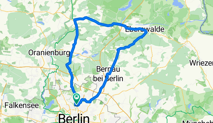
Liebenwalde-Eberswalde
A cycling route starting in Pankow, State of Berlin, Germany.
Overview
About this route
- -:--
- Duration
- 114.4 km
- Distance
- 299 m
- Ascent
- 285 m
- Descent
- ---
- Avg. speed
- 81 m
- Max. altitude
Route quality
Waytypes & surfaces along the route
Waytypes
Busy road
60.8 km
(53 %)
Pedestrian area
16.7 km
(15 %)
Surfaces
Paved
103.5 km
(90 %)
Unpaved
5.6 km
(5 %)
Asphalt
81.8 km
(72 %)
Paving stones
20 km
(17 %)
Continue with Bikemap
Use, edit, or download this cycling route
You would like to ride Liebenwalde-Eberswalde or customize it for your own trip? Here is what you can do with this Bikemap route:
Free features
- Save this route as favorite or in collections
- Copy & plan your own version of this route
- Split it into stages to create a multi-day tour
- Sync your route with Garmin or Wahoo
Premium features
Free trial for 3 days, or one-time payment. More about Bikemap Premium.
- Navigate this route on iOS & Android
- Export a GPX / KML file of this route
- Create your custom printout (try it for free)
- Download this route for offline navigation
Discover more Premium features.
Get Bikemap PremiumFrom our community
Other popular routes starting in Pankow
- 50er Lehnitz
- Distance
- 50.6 km
- Ascent
- 116 m
- Descent
- 113 m
- Location
- Pankow, State of Berlin, Germany
- Vinetastraße - Gorinsee Runde
- Distance
- 41.1 km
- Ascent
- 78 m
- Descent
- 80 m
- Location
- Pankow, State of Berlin, Germany
- Hausrunde
- Distance
- 37 km
- Ascent
- 71 m
- Descent
- 68 m
- Location
- Pankow, State of Berlin, Germany
- 100 km Runde
- Distance
- 101.6 km
- Ascent
- 258 m
- Descent
- 244 m
- Location
- Pankow, State of Berlin, Germany
- Wochendtrainingsrunde - Rennrad geeignet
- Distance
- 113.1 km
- Ascent
- 167 m
- Descent
- 167 m
- Location
- Pankow, State of Berlin, Germany
- Stadtführung Berlin, Radtour durch die östlichen Randgebiete von www.stadtspiele-verlag.de
- Distance
- 48.5 km
- Ascent
- 57 m
- Descent
- 65 m
- Location
- Pankow, State of Berlin, Germany
- Oderbruch-Tour in der Hügel-Variante
- Distance
- 149.6 km
- Ascent
- 336 m
- Descent
- 339 m
- Location
- Pankow, State of Berlin, Germany
- Berlin-Pankow Ruhlsdorf-Berlin
- Distance
- 82.1 km
- Ascent
- 153 m
- Descent
- 154 m
- Location
- Pankow, State of Berlin, Germany
Open it in the app