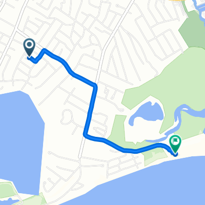
23 Paula Ln, West Yarmouth to 23 Paula Ln, West Yarmouth
- 5.7 km
- 3 m
- 3 m
- West Yarmouth, Massachusetts, United States
A cycling route starting in West Yarmouth, Massachusetts, United States.
Overview
Today we first went whale watching on Cape Cod and then headed towards New York. First via the interstate and then 1.5 hours by ferry to Long Island.
(The first kilometers from West Yarmouth to Provincetown were roughly entered manually, as Garmin was not working properly. From Provincetown onward, it's Garmin's recorded data again.)
created this 15 years ago
Continue with Bikemap
You would like to ride USA Trip - Tag 10 or customize it for your own trip? Here is what you can do with this Bikemap route:
Free trial for 3 days, or one-time payment. More about Bikemap Premium.
Discover more Premium features.
Get Bikemap PremiumFrom our community
Open it in the app