

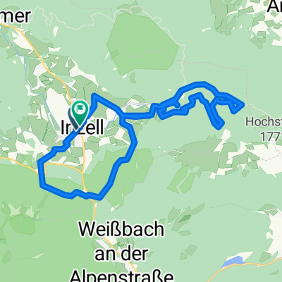
Inzell, Bad Reichenhall, Rund um den Hochstaufen
A cycling route starting in Inzell, Bavaria, Germany.
Overview
About this route
Inzell, Bad Reichenhall, Around the Hochstaufen
- -:--
- Duration
- 40.7 km
- Distance
- 1,087 m
- Ascent
- 1,087 m
- Descent
- ---
- Avg. speed
- ---
- Max. altitude
Continue with Bikemap
Use, edit, or download this cycling route
You would like to ride Inzell, Bad Reichenhall, Rund um den Hochstaufen or customize it for your own trip? Here is what you can do with this Bikemap route:
Free features
- Save this route as favorite or in collections
- Copy & plan your own version of this route
- Sync your route with Garmin or Wahoo
Premium features
Free trial for 3 days, or one-time payment. More about Bikemap Premium.
- Navigate this route on iOS & Android
- Export a GPX / KML file of this route
- Create your custom printout (try it for free)
- Download this route for offline navigation
Discover more Premium features.
Get Bikemap PremiumFrom our community
Other popular routes starting in Inzell
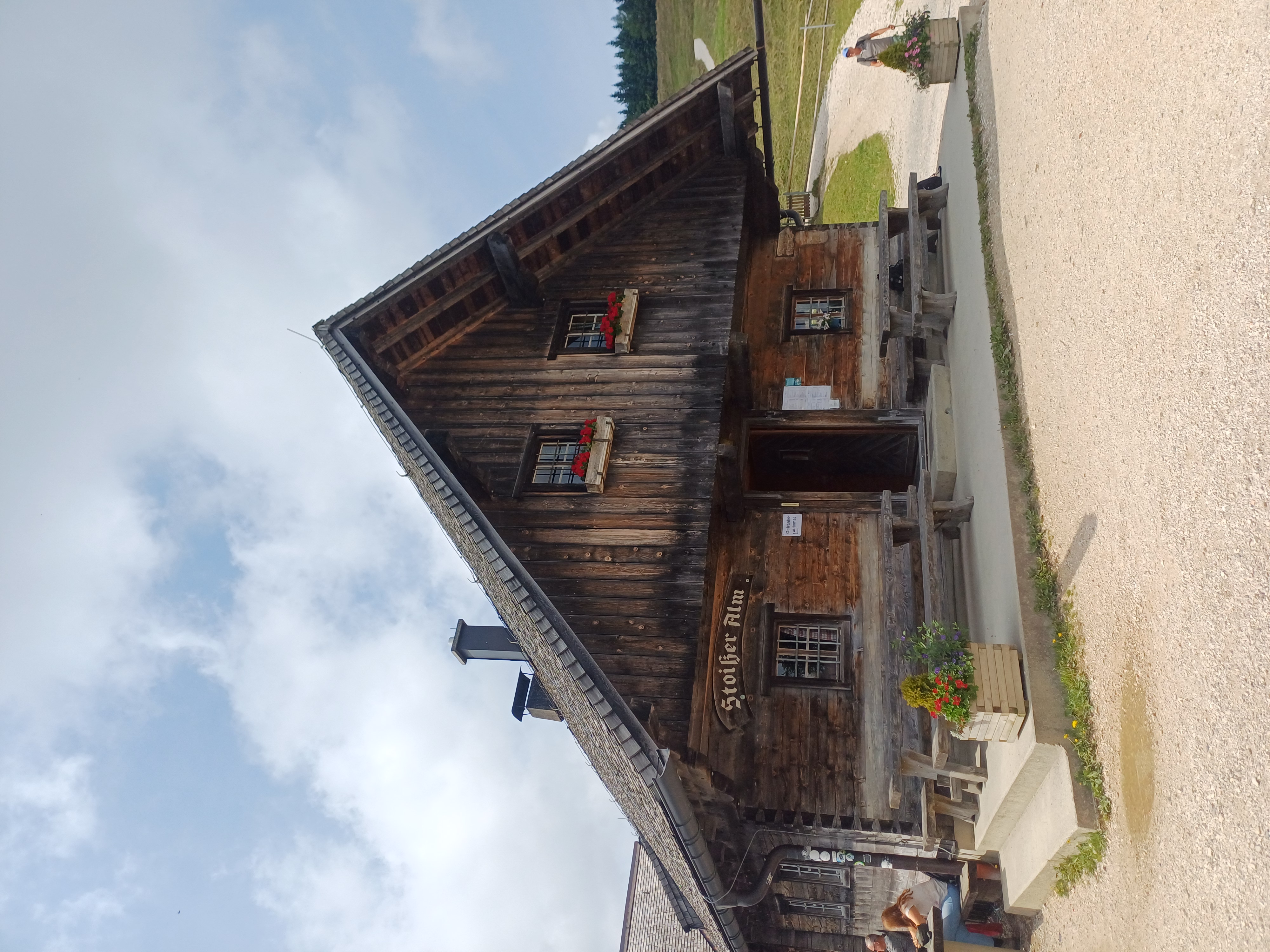 Stoißeralm Runde
- Distance
- 35 km
- Ascent
- 731 m
- Descent
- 784 m
- Location
- Inzell, Bavaria, Germany
 Frillensee
- Distance
- 29.6 km
- Ascent
- 774 m
- Descent
- 773 m
- Location
- Inzell, Bavaria, Germany
 Binderhäusl - Rauschbergrunde
- Distance
- 34.1 km
- Ascent
- 699 m
- Descent
- 699 m
- Location
- Inzell, Bavaria, Germany
 "Die kurze Sandy" Kurzstrecke Mountainbike Challenge 2015
- Distance
- 31.2 km
- Ascent
- 856 m
- Descent
- 854 m
- Location
- Inzell, Bavaria, Germany
 Stoißer-Alm-Runde
- Distance
- 19.4 km
- Ascent
- 655 m
- Descent
- 656 m
- Location
- Inzell, Bavaria, Germany
 Hammer/Farnbichl-Neukirchen- Stoißeralm
- Distance
- 22.1 km
- Ascent
- 795 m
- Descent
- 795 m
- Location
- Inzell, Bavaria, Germany
 Von Inzell um den Hochstaufen
- Distance
- 39 km
- Ascent
- 1,045 m
- Descent
- 1,041 m
- Location
- Inzell, Bavaria, Germany
 Runde24(57km)
- Distance
- 57.1 km
- Ascent
- 376 m
- Descent
- 376 m
- Location
- Inzell, Bavaria, Germany
Open it in the app