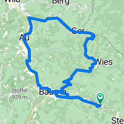
2/2 Genuss Zürcher Oberland
- 32.1 km
- 329 m
- 919 m
- Bauma, Canton of Zurich, Switzerland
A cycling route starting in Bauma, Canton of Zurich, Switzerland.
Overview
created this 17 years ago
Route quality
Road
35.8 km
(29 %)
Cycleway
8.6 km
(7 %)
Paved
109.8 km
(89 %)
Asphalt
109.8 km
(89 %)
Undefined
13.6 km
(11 %)
Continue with Bikemap
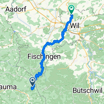
You would like to ride Bauma-Appenzell or customize it for your own trip? Here is what you can do with this Bikemap route:
Free trial for 3 days, or one-time payment. More about Bikemap Premium.
Discover more Premium features.
Get Bikemap PremiumFrom our community
Open it in the app