

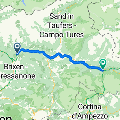
Val Pusteria 7) Rio Pusteria- Rasun di Sopra
A cycling route starting in Mühlbach, Trentino-Alto Adige, Italy.
Overview
About this route
- -:--
- Duration
- 40.7 km
- Distance
- 1,018 m
- Ascent
- 706 m
- Descent
- ---
- Avg. speed
- ---
- Max. altitude

Route quality
Waytypes & surfaces along the route
Waytypes
Access road
11.4 km
(28 %)
Track
8.5 km
(21 %)
Surfaces
Paved
33 km
(81 %)
Unpaved
4.5 km
(11 %)
Asphalt
33 km
(81 %)
Gravel
3.7 km
(9 %)
Continue with Bikemap
Use, edit, or download this cycling route
You would like to ride Val Pusteria 7) Rio Pusteria- Rasun di Sopra or customize it for your own trip? Here is what you can do with this Bikemap route:
Free features
- Save this route as favorite or in collections
- Copy & plan your own version of this route
- Sync your route with Garmin or Wahoo
Premium features
Free trial for 3 days, or one-time payment. More about Bikemap Premium.
- Navigate this route on iOS & Android
- Export a GPX / KML file of this route
- Create your custom printout (try it for free)
- Download this route for offline navigation
Discover more Premium features.
Get Bikemap PremiumFrom our community
Other popular routes starting in Mühlbach
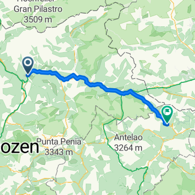
 From Mühlbach to Toblach
- Distance
- 55 km
- Ascent
- 1,362 m
- Descent
- 918 m
- Location
- Mühlbach, Trentino-Alto Adige, Italy
 8 - da geit meh man
- Distance
- 104.5 km
- Ascent
- 1,837 m
- Descent
- 1,993 m
- Location
- Mühlbach, Trentino-Alto Adige, Italy
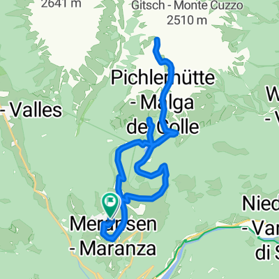
 Jochpass via Vals Anratter Hütte Südtirol
- Distance
- 21.6 km
- Ascent
- 902 m
- Descent
- 901 m
- Location
- Mühlbach, Trentino-Alto Adige, Italy
 Kösslergasse, Rio di Pusteria to Kösslergasse, Rio di Pusteria
- Distance
- 19.9 km
- Ascent
- 960 m
- Descent
- 957 m
- Location
- Mühlbach, Trentino-Alto Adige, Italy
 Leitensteig. NICHT fürs MTB!!
- Distance
- 5.3 km
- Ascent
- 134 m
- Descent
- 232 m
- Location
- Mühlbach, Trentino-Alto Adige, Italy
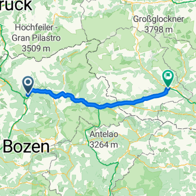
 From Mühlbach to Comelico Superiore
- Distance
- 86.8 km
- Ascent
- 2,147 m
- Descent
- 1,705 m
- Location
- Mühlbach, Trentino-Alto Adige, Italy
 Spinges - Stoanamandl - Panoramaweg
- Distance
- 17 km
- Ascent
- 804 m
- Descent
- 799 m
- Location
- Mühlbach, Trentino-Alto Adige, Italy
 6. Muehlbach- Toblach
- Distance
- 49.8 km
- Ascent
- 750 m
- Descent
- 318 m
- Location
- Mühlbach, Trentino-Alto Adige, Italy
Open it in the app