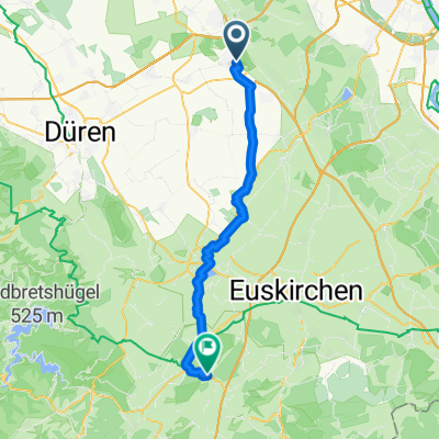
Erftkreisrunde
- 39.1 km
- 108 m
- 109 m
- Kerpen, North Rhine-Westphalia, Germany
A cycling route starting in Kerpen, North Rhine-Westphalia, Germany.
Overview
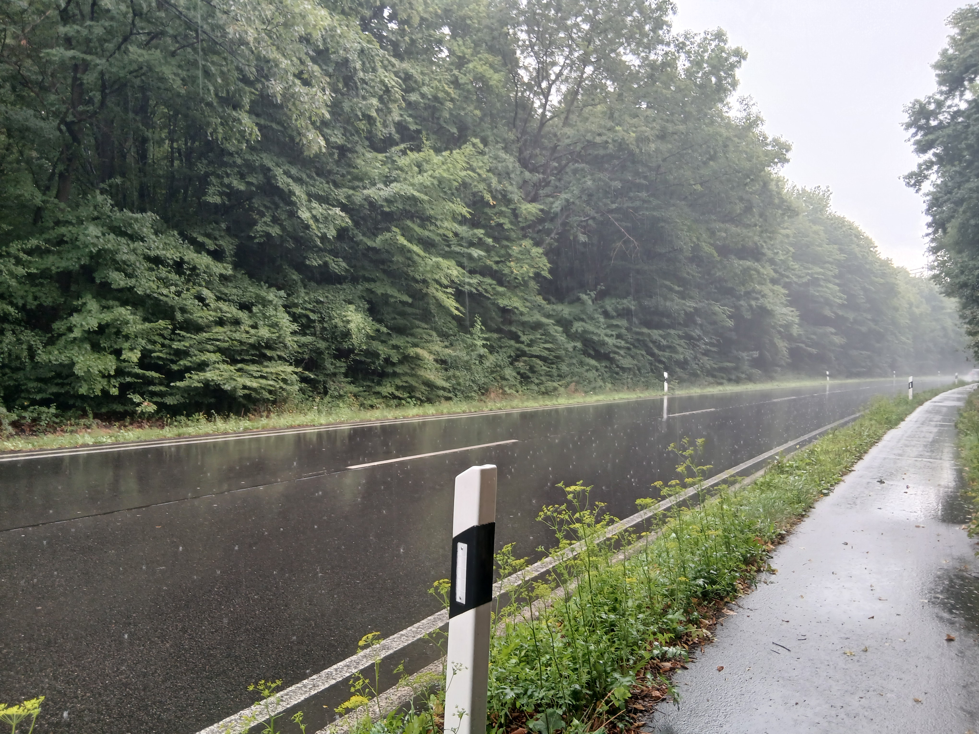
Route quality
Track
13.5 km
(29 %)
Path
10.2 km
(22 %)
Paved
31.6 km
(68 %)
Unpaved
3.2 km
(7 %)
Asphalt
22.7 km
(49 %)
Paved (undefined)
8.8 km
(19 %)
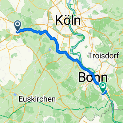
Continue with Bikemap
You would like to ride Horrem-Merzenich-Nörvenich Horrem or customize it for your own trip? Here is what you can do with this Bikemap route:
Free trial for 3 days, or one-time payment. More about Bikemap Premium.
Discover more Premium features.
Get Bikemap PremiumFrom our community
Open it in the app