

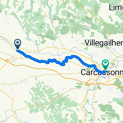
Bram / Carcassonne
- 24.1 km
- 18 m
- 30 m
- Bram, Occitanie, France
A cycling route starting in Bram, Occitanie, France.
Overview
Port de Pailhères
Port d´Envalira
Col d´Ordino
Andorra-Pal
created this 15 years ago
Continue with Bikemap
You would like to ride Bram > Andorra-Pal (203 km) or customize it for your own trip? Here is what you can do with this Bikemap route:
Free trial for 3 days, or one-time payment. More about Bikemap Premium.
Discover more Premium features.
Get Bikemap PremiumFrom our community
Open it in the app


