2010-Tag2: Dürrnhaar-Bernau (Chiemsee)
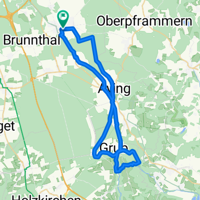
A cycling route starting in Höhenkirchen-Siegertsbrunn, Bavaria, Germany.
Overview
About this route
bis zum Simsee läufts gut
Simsee ist etwas enttäuschend, weil es keinen Weg am Wasser gibt
danach nervt das Straßen-Gefahre
- -:--
- Duration
- 75.2 km
- Distance
- 259 m
- Ascent
- 336 m
- Descent
- ---
- Avg. speed
- ---
- Avg. speed
Route quality
Waytypes & surfaces along the route
Waytypes
Path
27 km
(36 %)
Quiet road
26.1 km
(35 %)
Surfaces
Paved
49.4 km
(66 %)
Unpaved
24.9 km
(33 %)
Asphalt
48.1 km
(64 %)
Loose gravel
17.4 km
(23 %)
Route highlights
Points of interest along the route
Point of interest after 50.9 km
kurze Pause frei zugängliches WC
Point of interest after 54.3 km
Bank: endlich mal'n Blick übern See - alles bebaut, darum kein Zugang
Point of interest after 58.4 km
kleine Irrfahrt
Point of interest after 59.3 km
Kaffee-Pause
Point of interest after 71.3 km
Pause - kurz vorm Ziel, weil's so viel Generve auf den Straßen gab
Point of interest after 73.4 km
Thias wartet auf ner Bank
Continue with Bikemap
Use, edit, or download this cycling route
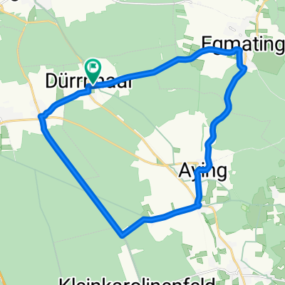
You would like to ride 2010-Tag2: Dürrnhaar-Bernau (Chiemsee) or customize it for your own trip? Here is what you can do with this Bikemap route:
Free features
- Save this route as favorite or in collections
- Copy & plan your own version of this route
- Sync your route with Garmin or Wahoo
Premium features
Free trial for 3 days, or one-time payment. More about Bikemap Premium.
- Navigate this route on iOS & Android
- Export a GPX / KML file of this route
- Create your custom printout (try it for free)
- Download this route for offline navigation
Discover more Premium features.
Get Bikemap PremiumFrom our community
Other popular routes starting in Höhenkirchen-Siegertsbrunn
- 31.1 Südroute
- Distance
- 31.7 km
- Ascent
- 108 m
- Descent
- 104 m
- Location
- Höhenkirchen-Siegertsbrunn, Bavaria, Germany
- Rundfahrt Siegertsbrunn-Kirchstockach-Unterhaching-Neubiberg-Ottobrunn-Hohenbrunn-Siegertsbrunn
- Distance
- 26.3 km
- Ascent
- 22 m
- Descent
- 41 m
- Location
- Höhenkirchen-Siegertsbrunn, Bavaria, Germany
- Höhenkirchen / Kleinhöhenkirchen mit Trails
- Distance
- 37.8 km
- Ascent
- 228 m
- Descent
- 228 m
- Location
- Höhenkirchen-Siegertsbrunn, Bavaria, Germany
- Kleine Runde
- Distance
- 18.4 km
- Ascent
- 131 m
- Descent
- 129 m
- Location
- Höhenkirchen-Siegertsbrunn, Bavaria, Germany
- Weg zur Arbeit
- Distance
- 20.4 km
- Ascent
- 16 m
- Descent
- 90 m
- Location
- Höhenkirchen-Siegertsbrunn, Bavaria, Germany
- Aying-frauenbründel
- Distance
- 37.1 km
- Ascent
- 330 m
- Descent
- 330 m
- Location
- Höhenkirchen-Siegertsbrunn, Bavaria, Germany
- Finkenstraße 3, Höhenkirchen-Siegertsbrunn nach Gartenstraße, Höhenkirchen-Siegertsbrunn
- Distance
- 35.7 km
- Ascent
- 514 m
- Descent
- 513 m
- Location
- Höhenkirchen-Siegertsbrunn, Bavaria, Germany
- SBR Deisenhofen Sauerlach_41km
- Distance
- 41.4 km
- Ascent
- 103 m
- Descent
- 101 m
- Location
- Höhenkirchen-Siegertsbrunn, Bavaria, Germany
Open it in the app