Picnic No Mud 38 S
- 37.5 km
- 291 m
- 289 m
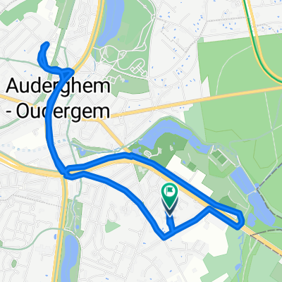
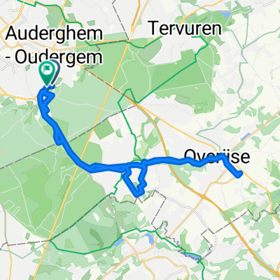
- Hoeilaart, Flemish Region, Belgium
A cycling route starting in Hoeilaart, Flemish Region, Belgium.
Overview
Beautiful varied route entirely through the Sonian Forest, the largest forest in Belgium, always well rideable (also after or during heavy rain!). 43 km, 850 meters elevation, nice fast route. Departure at Groenendaal Station. Easily accessible via the Brussels ring road. Street: GROENENDAALDESTEENWEG Postal code: 1560 Municipality: HOEILAART Thanks to Luc for planning the route ;)) Can also be done with a city bike in summer.
created this 5 years ago
Route quality
Track
34 km
(79 %)
Path
7.3 km
(17 %)
Paved
5.6 km
(13 %)
Unpaved
34 km
(79 %)
Gravel
32.7 km
(76 %)
Asphalt
5.6 km
(13 %)
Continue with Bikemap
You would like to ride Lukskesroute 40km or customize it for your own trip? Here is what you can do with this Bikemap route:
Free trial for 3 days, or one-time payment. More about Bikemap Premium.
Discover more Premium features.
Get Bikemap PremiumFrom our community
Open it in the app