
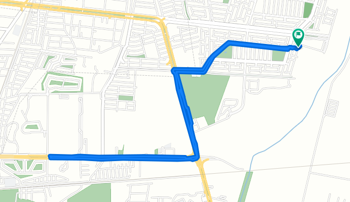
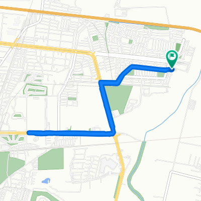
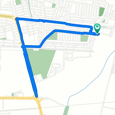
Ruta eje
A cycling route starting in La Trinidad, Guanajuato, Mexico.
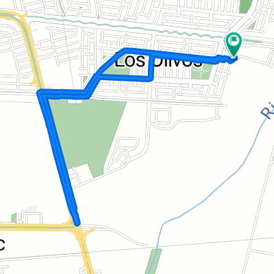
Overview
About this route
- 22 min
- Duration
- 7.8 km
- Distance
- 126 m
- Ascent
- 123 m
- Descent
- 21 km/h
- Avg. speed
- ---
- Max. altitude

Continue with Bikemap
Use, edit, or download this cycling route
You would like to ride Ruta eje or customize it for your own trip? Here is what you can do with this Bikemap route:
Free features
- Save this route as favorite or in collections
- Copy & plan your own version of this route
- Sync your route with Garmin or Wahoo
Premium features
Free trial for 3 days, or one-time payment. More about Bikemap Premium.
- Navigate this route on iOS & Android
- Export a GPX / KML file of this route
- Create your custom printout (try it for free)
- Download this route for offline navigation
Discover more Premium features.
Get Bikemap PremiumFrom our community
Other popular routes starting in La Trinidad
 cto corto
- Distance
- 7.3 km
- Ascent
- 3 m
- Descent
- 3 m
- Location
- La Trinidad, Guanajuato, Mexico
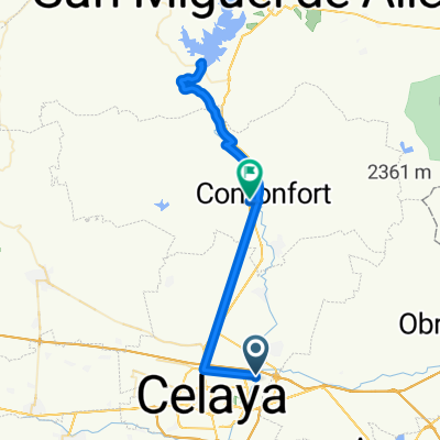
 Ruta moderada en Celaya
- Distance
- 7.4 km
- Ascent
- 58 m
- Descent
- 58 m
- Location
- La Trinidad, Guanajuato, Mexico
 ruta eje
- Distance
- 7.4 km
- Ascent
- 40 m
- Descent
- 41 m
- Location
- La Trinidad, Guanajuato, Mexico
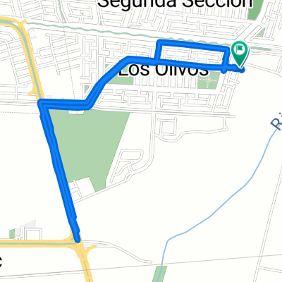
 Eje olivos
- Distance
- 5.2 km
- Ascent
- 100 m
- Descent
- 99 m
- Location
- La Trinidad, Guanajuato, Mexico
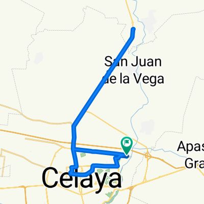
 Presa san mike
- Distance
- 71.9 km
- Ascent
- 1,234 m
- Descent
- 1,196 m
- Location
- La Trinidad, Guanajuato, Mexico
 Campirano
- Distance
- 47 km
- Ascent
- 361 m
- Descent
- 360 m
- Location
- La Trinidad, Guanajuato, Mexico
 Ruta corta eje
- Distance
- 4.8 km
- Ascent
- 43 m
- Descent
- 45 m
- Location
- La Trinidad, Guanajuato, Mexico
 Olivos via
- Distance
- 4.7 km
- Ascent
- 43 m
- Descent
- 42 m
- Location
- La Trinidad, Guanajuato, Mexico
Open it in the app